|
search place name
|
||
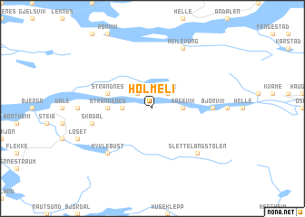
Holmeli (Sogn og Fjordane, Norway)Holmeli is a town in the Sogn og Fjordane region of Norway. An overview map of the region around Holmeli is displayed below.
regional and 3d topo map of Holmeli, Norway ::
Holmeli airports ::
The nearest airport is FRO - Floro, located 35.7 km north west of Holmeli.
Other airports nearby include BGO - Bergen Flesland (120.7 km south), AES - Alesund Vigra (136.6 km north), SRP - Stord Sorstokken (175.7 km south), MOL - Molde Aro (178.7 km north east), Nearby towns ::
Sunde (2.1km north east) //
Hestad (2.1km north west) //
Sagevik (1.8km east) //
Kleppe (1.8km east) //
Nistad (1.8km east) //
Strand (1.8km west) //
Strandenes (2.7km west) //
Strandnes (3.2km north west) //
Bjørvik (3.6km east) //
Skadal (4.0km south west) //
Myklebust (6.2km south west) //
Slettelandstølen (6.2km south east) //
Heilevong (7.6km north) //
[all distances 'as the bird flies' and approximate] 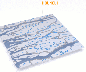 Places with similar names to Holmeli, Norway ::
// Hall Mill (US)
// Hollmühle (DE)
// Haliimaile (US)
// Holmli (NO)
// Ħal Mula (MT)
// Hilmilo (ET)
// Hale Mill (US)
// Hull Mill (US)
// Helimele (GH)
// Haliamulla (LK)
Disclaimer :: Information on this page comes without warranty of any kind |
||
|
Where is Holmeli? Elevation and coordinates ::
Latitude (lat): 61°22'0"N Longitude (lon): 5°31'0"E
(map arrows pan, magnifying glasses zoom) |
||
|
Visiting Holmeli? Hotel/Accommodation ::
Book a hotel in Holmeli Travel Guide ::
Buy a travel guide for Norway rental cars ::
car rental offers GPS waypoint ::
download a GPX waypoint (PoI) of Holmeli for your GPS receiver
|
||