|
search place name
|
||
Ban Bo Sali (Chiang Mai, Thailand)Ban Bo Sali is a town in the Chiang Mai region of Thailand. An overview map of the region around Ban Bo Sali is displayed below.
regional and 3d topo map of Ban Bo Sali, Thailand ::

Ban Bo Sali airports ::
The nearest airport is LPT - Lampang, located 136.3 km east of Ban Bo Sali.
Other airports nearby include PRH - Phrae (205.0 km east), Nearby towns ::
Ban Mae Waen (1.7km west) //
Ban Bo Si (1.8km north) //
Ban Kong Koi (2.3km west) //
Ban Kong Loi (5.8km north east) //
Ban Mae Tian (6.4km east) //
Ban Thung Luang (7.6km west) //
Ban Mae Lai (9.0km south east) //
Ban Mae Phae Noi (10.5km south west) //
Ban Mae Lai Luang (10.6km south east) //
[all distances 'as the bird flies' and approximate] 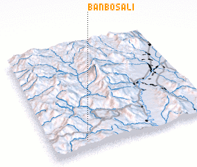
Disclaimer :: Information on this page comes without warranty of any kind |
||
|
Where is Ban Bo Sali? Elevation and coordinates ::
Latitude (lat): 18°6'4"N Longitude (lon): 98°13'40"E
Elevation (approx.): 701m (map arrows pan, magnifying glasses zoom) |
||
|
Visiting Ban Bo Sali? Hotel/Accommodation ::
Book a hotel in Ban Bo Sali Travel Guide ::
Buy a travel guide for Thailand rental cars ::
car rental offers GPS waypoint ::
download a GPX waypoint (PoI) of Ban Bo Sali for your GPS receiver
|
||