|
search place name
|
||
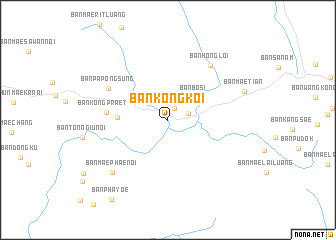
Ban Kong Koi (Mae Hong Son, Thailand)Ban Kong Koi is a town in the Mae Hong Son region of Thailand. An overview map of the region around Ban Kong Koi is displayed below.
regional and 3d topo map of Ban Kong Koi, Thailand ::
Ban Kong Koi airports ::
The nearest airport is LPT - Lampang, located 138.6 km east of Ban Kong Koi.
Other airports nearby include PRH - Phrae (207.2 km east), Nearby towns ::
Ban Mae Waen (1.5km north east) //
Ban Bo Sali (2.3km east) //
Ban Bo Si (3.7km north east) //
Ban Thung Luang (5.4km west) //
Ban Kong Prae Tai (6.6km west) //
Ban Pa Pong Sung (7.2km north west) //
Ban Kong Loi (7.5km north east) //
Ban Mae Phae Noi (8.3km south west) //
Ban Mae Tian (8.7km east) //
Ban Pha Yoe (10.7km south west) //
[all distances 'as the bird flies' and approximate] 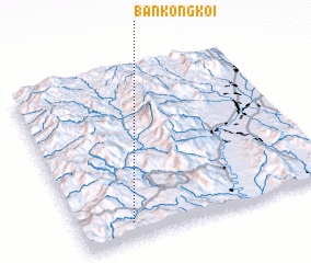 Places with similar names to Ban Kong Koi, Thailand ::
// Ban Ka-ngok (TH)
// Ban Kiang Kao (TH)
// Ban Kung Kao (TH)
// Ban Kang (2) (LA)
// Ban Kèngkèo (LA)
// Ban Kèngkèo (LA)
// Ban Kèngko (LA)
// Ban Kèngkou (LA)
// Ban Kèngkouy (LA)
// Ban Kèo-Nguak (LA)
Disclaimer :: Information on this page comes without warranty of any kind |
||
|
Where is Ban Kong Koi? Elevation and coordinates ::
Latitude (lat): 18°5'40"N Longitude (lon): 98°12'25"E
Elevation (approx.): 682m (map arrows pan, magnifying glasses zoom) |
||
|
Visiting Ban Kong Koi? Hotel/Accommodation ::
Book a hotel in Ban Kong Koi Travel Guide ::
Buy a travel guide for Thailand rental cars ::
car rental offers GPS waypoint ::
download a GPX waypoint (PoI) of Ban Kong Koi for your GPS receiver
|
||