|
search place name
|
||
Ban Mu But (Phetchabun, Thailand)Ban Mu But is a town in the Phetchabun region of Thailand. An overview map of the region around Ban Mu But is displayed below.
regional and 3d topo map of Ban Mu But, Thailand ::

Ban Mu But airports ::
The nearest airport is PHS - Phitsanulok, located 92.0 km west of Ban Mu But.
Other airports nearby include LOE - Loei (106.0 km north east), PRH - Phrae (192.1 km north west), UTH - Udon Thani (193.4 km north east), VTE - Vientiane Wattay Intl (210.9 km north east), Nearby towns ::
Ban Khlong Si Fan (4.0km south east) //
Ban Bung Khla (5.1km south east) //
Ban Tha Kham (5.8km south) //
Ban Bung Khla (5.8km south) //
Ban Nam Ko Yai (5.8km north) //
Ban Sak Ngoi (5.8km north) //
Amphoe Lom Sak (5.8km north) //
Ban Dong Khwang (6.5km north east) //
Ban Huai Lan (6.6km north east) //
Ban Sok Dua (8.2km north east) //
Ban Pak Huai Dan (10.3km south east) //
[all distances 'as the bird flies' and approximate] 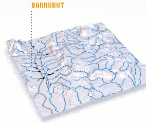 Places with similar names to Ban Mu But, Thailand ::
// Ban Mu But (TH)
Disclaimer :: Information on this page comes without warranty of any kind |
||
|
Where is Ban Mu But? Elevation and coordinates ::
Latitude (lat): 16°40'0"N Longitude (lon): 101°8'0"E
Elevation (approx.): 169m (map arrows pan, magnifying glasses zoom) |
||
|
Visiting Ban Mu But? Hotel/Accommodation ::
Book a hotel in Ban Mu But Travel Guide ::
Buy a travel guide for Thailand rental cars ::
car rental offers GPS waypoint ::
download a GPX waypoint (PoI) of Ban Mu But for your GPS receiver
|
||