|
search place name
|
||
Ban Nong Pla Lai (Rayong, Thailand)Ban Nong Pla Lai is a town in the Rayong region of Thailand. An overview map of the region around Ban Nong Pla Lai is displayed below.
regional and 3d topo map of Ban Nong Pla Lai, Thailand ::

Ban Nong Pla Lai airports ::
The nearest airport is UTP - Rayong U Taphao Intl, located 40.6 km south west of Ban Nong Pla Lai.
Other airports nearby include BKK - Bangkok Intl (137.4 km north west), HHQ - Prachuap Khiri Khan Hua Hin (150.7 km west), Nearby towns ::
Ban Nong Klap (NaNkm north) //
Ban Yang Yong (1.9km north) //
Ban Champhang (1.8km west) //
Ban Lahan (2) (4.1km south west) //
Ban Nong Tao Ruan (4.1km south west) //
Ban Nong Pru (4.1km south west) //
Ban Nong Mapring (5.2km north west) //
Ban Pak Phraek (5.6km north) //
Ban Ta Sit (5.8km south) //
Ban Nong Phawa (6.6km south east) //
Ban Maenam Khu (7.2km west) //
Ban Noen Yang Tok Thoi (7.6km south) //
Ban Nong Ang (7.6km south) //
Ban Suan Luang (7.8km south west) //
Ban Khlong Nam Yen (8.2km south west) //
[all distances 'as the bird flies' and approximate] 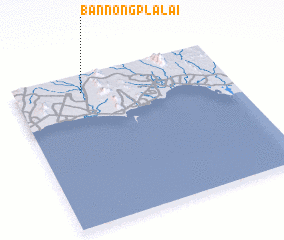 Places with similar names to Ban Nong Pla Lai, Thailand ::
// Ban Nong Pla Lai (TH)
// Ban Nong Pla Lai (TH)
// Ban Nong Pla Lai (TH)
// Ban Nong Pla Lai (TH)
// Ban Nong Pla Lai (TH)
// Ban Nong Pla Lai (TH)
// Ban Nong Pla Lai (TH)
// Ban Nong Pla Lai (TH)
// Ban Nong Pla Lai (TH)
// Ban Nong Pla Lai (TH)
Disclaimer :: Information on this page comes without warranty of any kind |
||
|
Where is Ban Nong Pla Lai? Elevation and coordinates ::
Latitude (lat): 12°53'0"N Longitude (lon): 101°19'0"E
Elevation (approx.): 25m (map arrows pan, magnifying glasses zoom) |
||
|
Visiting Ban Nong Pla Lai? Hotel/Accommodation ::
Book a hotel in Ban Nong Pla Lai Travel Guide ::
Buy a travel guide for Thailand rental cars ::
car rental offers GPS waypoint ::
download a GPX waypoint (PoI) of Ban Nong Pla Lai for your GPS receiver
|
||