|
search place name
|
||
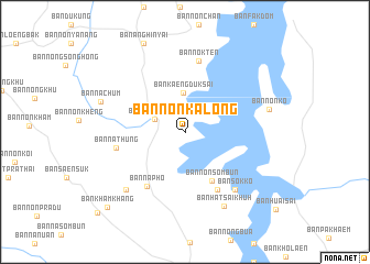
Ban Non Ka Long (Ubon Ratchathani, Thailand)Ban Non Ka Long is a town in the Ubon Ratchathani region of Thailand. An overview map of the region around Ban Non Ka Long is displayed below.
regional and 3d topo map of Ban Non Ka Long, Thailand ::
Ban Non Ka Long airports ::
The nearest airport is PKZ - Pakse, located 52.7 km east of Ban Non Ka Long.
Other airports nearby include ZVK - Savannakhet (185.7 km north), REP - Siem-reap Siem Reap (237.1 km south west), Nearby towns ::
Ban Non Sawang (3.2km north west) //
Ban Kaeng Duk Sai (4.0km north) //
Ban Non Sombun (5.6km south east) //
Ban Non Sawang (6.6km south east) //
Ban Na Pho (6.7km south west) //
Ban Na Thung (7.0km west) //
Ban Nok Ten (7.3km north) //
Ban Sok Ko (7.6km south east) //
Ban Huai Nam Sai (8.2km south west) //
Ban Hat Sai Khuh (8.4km south east) //
Ban Non Ko (8.6km east) //
Ban Na Chum (8.8km west) //
Ban Kham Khang (10.8km south west) //
Ban Kham Khang (11.9km south west) //
[all distances 'as the bird flies' and approximate] 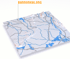 Places with similar names to Ban Non Ka Long, Thailand ::
// Ban Nang Loeng (TH)
// Ban Nang Long (TH)
// Ban Noen Klaeng (TH)
// Ban Noen Klang (TH)
// Ban Noen Klang (TH)
// Ban Nong Laeng (TH)
// Ban Nong Laeng (TH)
// Ban Nong Leng (TH)
// Ban Nong Ling (TH)
// Ban Nong Luang (TH)
Disclaimer :: Information on this page comes without warranty of any kind |
||
|
Where is Ban Non Ka Long? Elevation and coordinates ::
Latitude (lat): 14°58'8"N Longitude (lon): 105°19'15"E
Elevation (approx.): 154m (map arrows pan, magnifying glasses zoom) |
||
|
Visiting Ban Non Ka Long? Hotel/Accommodation ::
Book a hotel in Ban Non Ka Long Travel Guide ::
Buy a travel guide for Thailand rental cars ::
car rental offers GPS waypoint ::
download a GPX waypoint (PoI) of Ban Non Ka Long for your GPS receiver
|
||