|
search place name
|
||
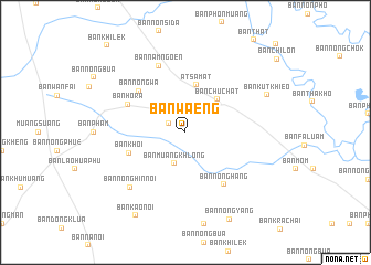
Ban Waeng (Roi Et, Thailand)Ban Waeng is a town in the Roi Et region of Thailand. An overview map of the region around Ban Waeng is displayed below.
regional and 3d topo map of Ban Waeng, Thailand ::
Ban Waeng airports ::
The nearest airport is ZVK - Savannakhet, located 127.1 km north east of Ban Waeng.
Other airports nearby include SNO - Sakon Nakhon (155.2 km north), UTH - Udon Thani (207.4 km north west), NAK - Nakhon Ratchasima Khorat (213.8 km south west), PKZ - Pakse (220.7 km east), Nearby towns ::
Ban Dong Sawang (1.8km north west) //
Ban Muang Khlong (3.3km south) //
Ban Chu Chat (4.5km north east) //
At Samat (4.9km north) //
Ban Khoi (5.8km west) //
Ban Nong Wa (6.1km north west) //
Ban Hora (6.3km north west) //
Ban Nong Hang (6.5km south east) //
Ban Nam Ngoen (7.2km north) //
Ban Nong Hin Noi (7.7km south west) //
Ban Kut Khieo (8.8km north east) //
Ban Kao Noi (9.7km south west) //
Ban Nong Yang (9.8km south east) //
Ban Khilek (11.6km north west) //
[all distances 'as the bird flies' and approximate] 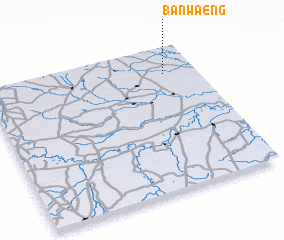 Places with similar names to Ban Waeng, Thailand ::
// Banawang (PH)
// Ban Nai Wang (TH)
// Ban Na Waeng (TH)
// Ban Na Waeng (TH)
// Ban Na Wang (TH)
// Ban Na Wang (TH)
// Ban Na Weng (TH)
// Ban Na Wiang (TH)
// Ban Na Wiang (TH)
// Ban Na Wong (TH)
Disclaimer :: Information on this page comes without warranty of any kind |
||
|
Where is Ban Waeng? Elevation and coordinates ::
Latitude (lat): 15°49'0"N Longitude (lon): 103°51'0"E
Elevation (approx.): 139m (map arrows pan, magnifying glasses zoom) |
||
|
Visiting Ban Waeng? Hotel/Accommodation ::
Book a hotel in Ban Waeng Travel Guide ::
Buy a travel guide for Thailand rental cars ::
car rental offers GPS waypoint ::
download a GPX waypoint (PoI) of Ban Waeng for your GPS receiver
|
||