|
search place name
|
||
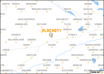
Pląchoty (Poland)Pląchoty is a town in Poland. An overview map of the region around Pląchoty is displayed below.
regional and 3d topo map of Pląchoty, Poland ::
Pląchoty airports ::
The nearest airport is GDN - Gdansk Lecha Walesy, located 136.2 km north of Pląchoty.
Other airports nearby include WAW - Warsaw Okecie (168.5 km south east), KGD - Kaliningrad Khrabrovo (205.7 km north east), Nearby towns ::
Kawki (0.0km north) //
Wrocki (2.2km south west) //
Cieszyny (2.2km south east) //
Kujawa (3.7km south) //
Grabowiec (2.9km north west) //
Nieżywięć (4.3km north west) //
Małki (3.3km east) //
Zarośle (3.8km north east) //
Zgniłobłoty (6.0km north) //
Tylice (5.0km north east) //
Wymokłe (4.4km east) //
Łobdowo (4.8km south west) //
Kupno (5.8km south east) //
Mokry Las (8.6km south west) //
[all distances 'as the bird flies' and approximate] 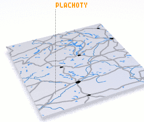 Places with similar names to Pląchoty, Poland ::
// Płachty (PL)
// Plichta (PL)
// Plichtów (PL)
// Plisht (AL)
// Palāshāti (BD)
// Palshet (IN)
// Palasht (IR)
// Pelishat (BG)
// Plei Chuêt (VN)
// Pơlei Chưot (VN)
Disclaimer :: Information on this page comes without warranty of any kind |
||
|
Where is Pląchoty? Elevation and coordinates ::
Latitude (lat): 53°14'0"N Longitude (lon): 19°12'0"E
Elevation (approx.): 101m (map arrows pan, magnifying glasses zoom) |
||
|
Visiting Pląchoty? Hotel/Accommodation ::
Book a hotel in Pląchoty Travel Guide ::
Buy a travel guide for Poland rental cars ::
car rental offers GPS waypoint ::
download a GPX waypoint (PoI) of Pląchoty for your GPS receiver
|
||