|
search place name
|
||
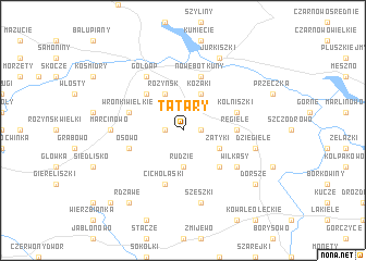
Tatary (Poland)Tatary is a town in Poland. An overview map of the region around Tatary is displayed below.
regional and 3d topo map of Tatary, Poland ::
Tatary airports ::
The nearest airport is KGD - Kaliningrad Khrabrovo, located 133.2 km north west of Tatary.
Nearby towns ::
Suczki (1.1km west) //
Pietrasze (1.1km west) //
Wrotkowo (1.1km east) //
Rudzie (3.7km south) //
Różyńsk (3.9km north) //
Kozaki (3.9km north) //
Zatyki (2.9km south east) //
Janowo (4.3km north west) //
Kamionki (4.3km south east) //
Regiele (3.2km east) //
Cicholaski (5.7km south) //
Nowe Botkuny (5.7km north) //
Wronki Wielkie (3.7km north west) //
Osowo (3.7km south west) //
Głażejewo (3.7km south west) //
Kolniszki (3.7km north east) //
Gołdap (6.0km north) //
Wilkasy (4.9km south east) //
Marcinowo (4.3km west) //
Szeszki (7.5km south) //
Dzięgiele (4.7km south east) //
Jurkiszki (7.7km north) //
Botkuny (7.7km north) //
Dorsze (7.0km south east) //
Rdzawe (8.1km south west) //
Dunajek Mały (8.6km south west) //
[all distances 'as the bird flies' and approximate] 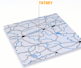 Places with similar names to Tatary, Poland ::
Disclaimer :: Information on this page comes without warranty of any kind |
||
|
Where is Tatary? Elevation and coordinates ::
Latitude (lat): 54°15'0"N Longitude (lon): 22°20'0"E
Elevation (approx.): 258m (map arrows pan, magnifying glasses zoom) |
||
|
Visiting Tatary? Hotel/Accommodation ::
Book a hotel in Tatary Travel Guide ::
Buy a travel guide for Poland rental cars ::
car rental offers GPS waypoint ::
download a GPX waypoint (PoI) of Tatary for your GPS receiver
|
||