|
search place name
|
||
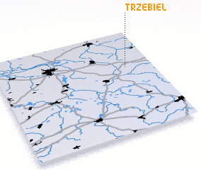
Trzebiel (Poland)Trzebiel is a town in Poland. An overview map of the region around Trzebiel is displayed below.
regional and 3d topo map of Trzebiel, Poland ::

Trzebiel airports ::
The nearest airport is BBJ - Bautzen, located 55.3 km south west of Trzebiel.
Other airports nearby include IEG - Zielona Gora Babimost (85.8 km north east), DRS - Dresden (93.9 km south west), SXF - Berlin Schonefeld (121.2 km north west), THF - Berlin Tempelhof (134.1 km north west), Nearby towns ::
 Places with similar names to Trzebiel, Poland ::
// Trzebol (PL)
// Tresabuela (ES)
// Dar Rīz-e Bālā (IR)
// Dayr Sīb ‘Alī (YE)
// Darsawbli (LR)
// Trazibulo (BR)
// Tørsbøl (DK)
// Tråsbøl (DK)
// Tressebølle (DK)
// Töresbol (SE)
Disclaimer :: Information on this page comes without warranty of any kind |
||
|
Where is Trzebiel? Elevation and coordinates ::
Latitude (lat): 51°39'0"N Longitude (lon): 14°50'0"E
Elevation (approx.): 150m (map arrows pan, magnifying glasses zoom) |
||
|
Visiting Trzebiel? Hotel/Accommodation ::
Book a hotel in Trzebiel Travel Guide ::
Buy a travel guide for Poland rental cars ::
car rental offers GPS waypoint ::
download a GPX waypoint (PoI) of Trzebiel for your GPS receiver
|
||