|
search place name
|
||
Főnyed (Somogy, Hungary)Főnyed is a town in the Somogy region of Hungary. An overview map of the region around Főnyed is displayed below.
regional and 3d topo map of Főnyed, Hungary ::

Főnyed airports ::
The nearest airport is MBX - Maribor, located 122.4 km west of Főnyed.
Other airports nearby include ZAG - Zagreb (135.5 km south west), GRZ - Graz (145.0 km west), BTS - Bratislava M R Stefanik (170.9 km north), VIE - Vienna Schwechat (172.4 km north), Nearby towns ::
Kistikos (1.3km east) //
Szegerdő (1.3km east) //
Tikos (2.5km east) //
Vörs (3.7km north) //
Marótpuszta (3.1km south east) //
Csikósház (3.1km south west) //
Battyánpuszta (4.5km north east) //
Sávoly (5.6km south) //
Hollád (3.8km east) //
Somogysámson (6.1km south east) //
Balatonszentgyörgy (6.1km north east) //
Somogyzsitfa (7.8km south) //
Kápolnapuszta (7.5km south west) //
[all distances 'as the bird flies' and approximate] 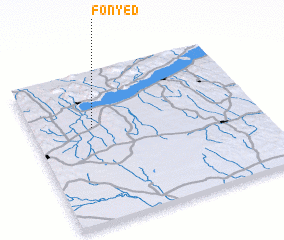
Disclaimer :: Information on this page comes without warranty of any kind |
||
|
Where is Főnyed? Elevation and coordinates ::
Latitude (lat): 46°38'0"N Longitude (lon): 17°16'0"E
Elevation (approx.): 120m (map arrows pan, magnifying glasses zoom) |
||
|
Visiting Főnyed? Hotel/Accommodation ::
Book a hotel in Főnyed Travel Guide ::
Buy a travel guide for Hungary rental cars ::
car rental offers GPS waypoint ::
download a GPX waypoint (PoI) of Főnyed for your GPS receiver
|
||