|
search place name
|
||
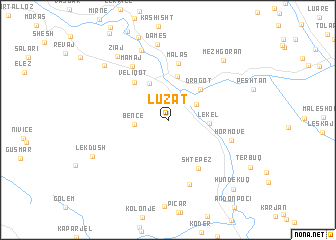
Luzat (Gjirokastër, Albania)Luzat is a town in the Gjirokastër region of Albania. An overview map of the region around Luzat is displayed below.
regional and 3d topo map of Luzat, Albania ::
Luzat airports ::
The nearest airport is CFU - Kerkyra/corfu Ioannis Kapodistrias Intl, located 73.7 km south of Luzat.
Other airports nearby include IOA - Ioannina (91.6 km south east), KSO - Kastoria Aristotelis (107.7 km east), OHD - Ohrid (118.4 km north east), TIA - Tirana Rinas (131.2 km north), Nearby towns ::
Kodër (2.9km north east) //
Bënçë (2.9km west) //
Lekël (3.5km east) //
Tepelenë (4.4km north) //
Dragot (4.4km north east) //
Beçisht (5.0km north) //
Veliqot (5.1km north west) //
Shtëpëz (5.9km south east) //
Malas (6.4km north) //
Mamaj (6.7km north west) //
Hormovë (5.8km east) //
Gropa e Barcit (7.4km south) //
Damës (8.1km north) //
Damës (8.5km north) //
Mezhgoran (8.2km north east) //
Ziaj (8.3km north west) //
Lekdush (7.6km south west) //
Turan (8.2km north west) //
Hundëkuq (9.4km south east) //
[all distances 'as the bird flies' and approximate] 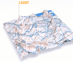 Places with similar names to Luzat, Albania ::
Disclaimer :: Information on this page comes without warranty of any kind |
||
|
Where is Luzat? Elevation and coordinates ::
Latitude (lat): 40°15'31"N Longitude (lon): 20°2'17"E
Elevation (approx.): 315m (map arrows pan, magnifying glasses zoom) |
||
|
Visiting Luzat? Hotel/Accommodation ::
Book a hotel in Luzat Travel Guide ::
Buy a travel guide for Albania rental cars ::
car rental offers GPS waypoint ::
download a GPX waypoint (PoI) of Luzat for your GPS receiver
|
||