|
search place name
|
||
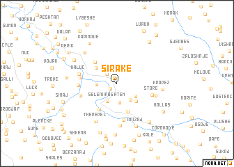
Sirakë (Berat, Albania)Sirakë is a town in the Berat region of Albania. An overview map of the region around Sirakë is displayed below.
regional and 3d topo map of Sirakë, Albania ::
Sirakë airports ::
The nearest airport is OHD - Ohrid, located 82.9 km north east of Sirakë.
Other airports nearby include KSO - Kastoria Aristotelis (96.3 km east), TIA - Tirana Rinas (100.0 km north), CFU - Kerkyra/corfu Ioannis Kapodistrias Intl (110.5 km south), IOA - Ioannina (113.0 km south east), Nearby towns ::
Bogovë (1.1km south west) //
Novaj (2.0km north west) //
Selan (3.0km south) //
Seleni i Poshtëm (3.0km south) //
Jaupas (2.5km west) //
Dobrushë (3.1km south east) //
Durmish (3.0km south east) //
Nishovë (3.5km north west) //
Solias (3.6km south east) //
Strorë (4.7km south) //
Bargullas (4.3km north west) //
Kakrukë (4.8km south west) //
Fushë (5.9km south) //
Storë (4.7km south east) //
Pronovik (4.6km west) //
Valë (4.9km south west) //
Usti (4.7km west) //
Kaluç (4.8km west) //
Vërzhezaj (5.1km south east) //
Buzuq (6.7km south) //
Therepel (6.6km south west) //
Ballë (6.4km north west) //
Krorëz (5.7km east) //
Arizaj (7.3km south) //
Kapinovë (7.2km north west) //
Poliçan (6.4km north west) //
Vërzhezhë (7.3km south east) //
Zgërbonjë (6.2km west) //
Spatharë (8.2km south) //
[all distances 'as the bird flies' and approximate] 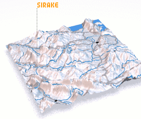 Places with similar names to Sirakë, Albania ::
Disclaimer :: Information on this page comes without warranty of any kind |
||
|
Where is Sirakë? Elevation and coordinates ::
Latitude (lat): 40°34'42"N Longitude (lon): 20°9'35"E
Elevation (approx.): 514m (map arrows pan, magnifying glasses zoom) |
||
|
Visiting Sirakë? Hotel/Accommodation ::
Book a hotel in Sirakë Travel Guide ::
Buy a travel guide for Albania rental cars ::
car rental offers GPS waypoint ::
download a GPX waypoint (PoI) of Sirakë for your GPS receiver
|
||