|
search place name
|
||
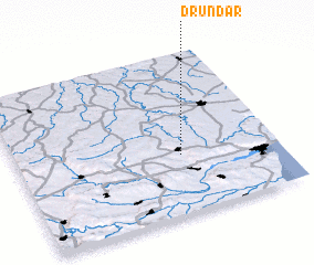
Drŭndar (Bulgaria)Drŭndar is a town in Bulgaria. An overview map of the region around Drŭndar is displayed below.
regional and 3d topo map of Drŭndar, Bulgaria ::

Drŭndar airports ::
The nearest airport is VAR - Varna, located 21.6 km south east of Drŭndar.
Other airports nearby include BOJ - Bourgas Burgas (89.1 km south), CND - Constanta Mihail Kogalniceanu (130.2 km north east), GOZ - Gorna Orechovica Gorna Oryahovitsa (157.8 km west), BBU - Bucharest Aurel Vlaicu (176.2 km north west), Nearby towns ::
 Places with similar names to Drŭndar, Bulgaria ::
// Triandría (GR)
// Derindere (TR)
// Derindere (TR)
// Torondra (MG)
// Darān Darreh (IR)
// Trintre (CL)
// Tronadora (CR)
// Tiríndaro (MX)
// Deïr Ntâr (LB)
// Darou Ndiar (SN)
Disclaimer :: Information on this page comes without warranty of any kind |
||
|
Where is Drŭndar? Elevation and coordinates ::
Latitude (lat): 43°22'0"N Longitude (lon): 27°38'0"E
Elevation (approx.): 299m (map arrows pan, magnifying glasses zoom) |
||
|
Visiting Drŭndar? Hotel/Accommodation ::
Book a hotel in Drŭndar Travel Guide ::
Buy a travel guide for Bulgaria rental cars ::
car rental offers GPS waypoint ::
download a GPX waypoint (PoI) of Drŭndar for your GPS receiver
|
||