|
search place name
|
||
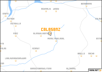
Calasanz (Aragón, Spain)Calasanz is a town in the Aragón region of Spain. An overview map of the region around Calasanz is displayed below.
regional and 3d topo map of Calasanz, Spain ::
Calasanz airports ::
The nearest airport is LEU - Seo De Urgel, located 93.3 km north east of Calasanz.
Other airports nearby include REU - Reus (117.4 km south east), ZAZ - Zaragoza Ab (123.3 km west), LDE - Tarbes Lourdes (132.7 km north), BCN - Barcelona (163.5 km south east), Nearby towns ::
Peralta de la Sal (2.3km south east) //
Alíns del Monte (2.8km west) //
Azanúy (6.9km south west) //
[all distances 'as the bird flies' and approximate] 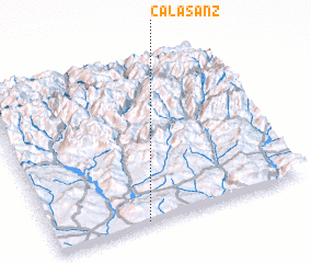 Places with similar names to Calasanz, Spain ::
// Claussenius (US)
// Klašnice (BA)
// Calzones (ES)
// Callisons (US)
// Golozinci (MK)
// Gualcince (HN)
// Gložanci (HR)
// Klučenice (CZ)
// Gällsnäs (SE)
// Quilussanzo (AO)
Disclaimer :: Information on this page comes without warranty of any kind |
||
|
Where is Calasanz? Elevation and coordinates ::
Latitude (lat): 42°1'0"N Longitude (lon): 0°22'0"W
Elevation (approx.): 659m (map arrows pan, magnifying glasses zoom) |
||
|
Visiting Calasanz? Hotel/Accommodation ::
Book a hotel in Calasanz Travel Guide ::
Buy a travel guide for Spain rental cars ::
car rental offers GPS waypoint ::
download a GPX waypoint (PoI) of Calasanz for your GPS receiver
|
||