|
search place name
|
||
Castrelo (Galicia, Spain)Castrelo is a town in the Galicia region of Spain. An overview map of the region around Castrelo is displayed below.
regional and 3d topo map of Castrelo, Spain ::

Castrelo airports ::
The nearest airport is BGC - Braganca, located 77.6 km south east of Castrelo.
Other airports nearby include SCQ - Santiago (105.3 km north west), VGO - Vigo (106.3 km west), VRL - Vila Real (125.2 km south), LCG - La Coruna A Coruna (133.6 km north west), Nearby towns ::
Sas de Penelas (0.0km north) //
Folgoso (1.9km north) //
Vimieiro (1.9km north) //
Argas (2.3km north east) //
Villamayor (2.3km south west) //
Chaveán (3.7km south) //
Mazaira (4.0km north) //
Medos (4.0km north) //
Villardá (5.6km north) //
Río (4.1km east) //
Camba (4.1km west) //
Cerdeira (4.5km south east) //
El Burgo (4.5km south west) //
San Cristóbal (5.7km south) //
Fonteita (5.7km south) //
Argas (5.5km north east) //
Coba (6.2km south east) //
Fitoiro (6.2km south west) //
Paraizás (5.5km south east) //
Peña de Folenche (5.5km east) //
Paradaseca (7.4km south) //
Sanjurjo (5.8km east) //
Junquera (5.8km east) //
Penapetada (6.9km south east) //
Cotarones (6.9km south east) //
Alais (6.6km north west) //
Rabal (7.9km south) //
Trives (6.6km south east) //
Villanueva (6.6km south east) //
[all distances 'as the bird flies' and approximate] 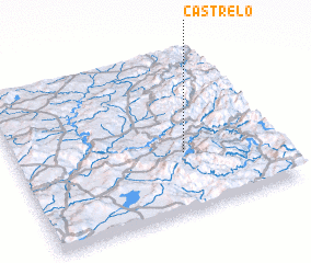 Places with similar names to Castrelo, Spain ::
Disclaimer :: Information on this page comes without warranty of any kind |
||
|
Where is Castrelo? Elevation and coordinates ::
Latitude (lat): 42°22'0"N Longitude (lon): 7°21'0"W
Elevation (approx.): 758m (map arrows pan, magnifying glasses zoom) |
||
|
Visiting Castrelo? Hotel/Accommodation ::
Book a hotel in Castrelo Travel Guide ::
Buy a travel guide for Spain rental cars ::
car rental offers GPS waypoint ::
download a GPX waypoint (PoI) of Castrelo for your GPS receiver
|
||