|
search place name
|
||
Gornevo (Smolenskaya Oblast', Russia)Gornevo is a town in the Smolenskaya Oblast' region of Russia. An overview map of the region around Gornevo is displayed below.
regional and 3d topo map of Gornevo, Russia ::

Gornevo airports ::
The nearest airport is KLD - Tver Migalovo, located 201.5 km north east of Gornevo.
Nearby towns ::
Pupovo (2.5km south) //
Markovo (3.6km north) //
Pekarëvo (4.7km north) //
Otnosovo (4.4km south) //
Andreykovo (4.0km south east) //
Stepan'kovo (6.1km south) //
Tikhonovo (6.4km south) //
Pobeda (4.5km south east) //
Traslivaya (7.1km north) //
Rozhnovo (4.4km west) //
Zhibrikovo (5.1km north east) //
Volkovo (8.1km north) //
Petino (6.3km south west) //
Bogdanovka (8.9km south) //
Sudniki (7.8km north east) //
Zarech'ye (7.9km south west) //
[all distances 'as the bird flies' and approximate] 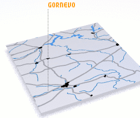 Places with similar names to Gornevo, Russia ::
// Greenview (US)
// Greenview (US)
// Greenough (US)
// Greenview (US)
// Cura Nuova (IT)
// Karūnava (LT)
// Kernavė (LT)
// Gran Vía (CU)
// Grua Nueva (CU)
// Kranovo (BG)
Disclaimer :: Information on this page comes without warranty of any kind |
||
|
Where is Gornevo? Elevation and coordinates ::
Latitude (lat): 55°15'14"N Longitude (lon): 34°9'8"E
Elevation (approx.): 269m (map arrows pan, magnifying glasses zoom) |
||
|
Visiting Gornevo? Hotel/Accommodation ::
Book a hotel in Gornevo Travel Guide ::
Buy a travel guide for Russia rental cars ::
car rental offers GPS waypoint ::
download a GPX waypoint (PoI) of Gornevo for your GPS receiver
|
||