|
search place name
|
||
Khrushchëvo (Lipetskaya Oblast', Russia)Khrushchëvo is a town in the Lipetskaya Oblast' region of Russia. An overview map of the region around Khrushchëvo is displayed below.
regional and 3d topo map of Khrushchëvo, Russia ::

Khrushchëvo airports ::
The nearest airport is VOZ - Voronezh Chertovitskoye, located 113.6 km south east of Khrushchëvo.
Nearby towns ::
Suslovo (1.8km south east) //
Dvoriki (2.9km east) //
Arkhangel'skoye (4.8km north) //
Mikhaylovka (4.9km south) //
Ivanovka (3.5km east) //
Kolodezskiye (4.3km north east) //
Kasimovka (6.4km south) //
Laukhino (6.6km north) //
Zaovrazh'ye (6.2km north west) //
Argamach-Pal'na (8.5km south) //
Lukoshkino (7.6km north east) //
[all distances 'as the bird flies' and approximate] 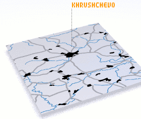 Places with similar names to Khrushchëvo, Russia ::
// Khrushchëvo (UA)
// Khrushchëvo (UA)
// Khrushchëv (RU)
// Khrushchëv (RU)
// Khrushchëva (RU)
// Khrushchëvo (RU)
// Khrushchëvo (RU)
// Khrushchëvo (RU)
// Khrushchëvo (RU)
// Khrushchëvo (RU)
Disclaimer :: Information on this page comes without warranty of any kind |
||
|
Where is Khrushchëvo? Elevation and coordinates ::
Latitude (lat): 52°45'27"N Longitude (lon): 38°35'32"E
Elevation (approx.): 202m (map arrows pan, magnifying glasses zoom) |
||
|
Visiting Khrushchëvo? Hotel/Accommodation ::
Book a hotel in Khrushchëvo Travel Guide ::
Buy a travel guide for Russia rental cars ::
car rental offers GPS waypoint ::
download a GPX waypoint (PoI) of Khrushchëvo for your GPS receiver
|
||