|
search place name
|
||
Laptëvo (Tul'skaya Oblast', Russia)Laptëvo is a town in the Tul'skaya Oblast' region of Russia. An overview map of the region around Laptëvo is displayed below.
regional and 3d topo map of Laptëvo, Russia ::

Laptëvo airports ::
The nearest airport is VKO - Moscow Vnukovo, located 105.4 km north of Laptëvo.
Other airports nearby include SVO - Moscow Sheremetyevo (147.5 km north), Nearby towns ::
Nemtsovo (2.2km north east) //
Gatnitsa (4.7km south) //
Khrushchëvo (3.5km south west) //
Nechayevo (4.4km north) //
Teryayevo Vtoroye (3.7km south east) //
Teryayevo (3.6km east) //
Aleksandrovka (4.6km north east) //
Ushakovka (5.8km south east) //
Butikovo (6.1km north) //
Roman'kovo (7.1km south) //
Filimonovka (7.3km south) //
Zhdamirovo (4.7km west) //
Domnino (5.2km north east) //
Myshënki (7.6km north east) //
Sukhotino (7.3km south west) //
Nenashevo (9.4km south east) //
[all distances 'as the bird flies' and approximate] 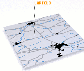 Places with similar names to Laptëvo, Russia ::
Disclaimer :: Information on this page comes without warranty of any kind |
||
|
Where is Laptëvo? Elevation and coordinates ::
Latitude (lat): 54°38'52"N Longitude (lon): 37°23'52"E
Elevation (approx.): 219m (map arrows pan, magnifying glasses zoom) |
||
|
Visiting Laptëvo? Hotel/Accommodation ::
Book a hotel in Laptëvo Travel Guide ::
Buy a travel guide for Russia rental cars ::
car rental offers GPS waypoint ::
download a GPX waypoint (PoI) of Laptëvo for your GPS receiver
|
||