|
search place name
|
||
Obukhovo (Tverskaya Oblast', Russia)Obukhovo is a town in the Tverskaya Oblast' region of Russia. An overview map of the region around Obukhovo is displayed below.
regional and 3d topo map of Obukhovo, Russia ::

Obukhovo airports ::
The nearest airport is KLD - Tver Migalovo, located 17.2 km north west of Obukhovo.
Other airports nearby include SVO - Moscow Sheremetyevo (122.3 km south east), VKO - Moscow Vnukovo (149.6 km south east), Nearby towns ::
Krasnaya Nov' (1.3km south west) //
Kurkino (3.6km south west) //
Sintsovo (2.9km west) //
Vishenki (6.3km north) //
Kolesnikovo (5.9km north) //
Shcherbinino (3.6km east) //
Zhelnino (6.5km south) //
Simonovo (6.5km north) //
Greblevo (6.5km north) //
Mityayevo (6.5km north) //
Izmaylovo (6.7km south) //
Alekseyevskoye (4.3km west) //
Volodino (6.2km north west) //
Biryulino (6.8km north) //
Salygino (4.7km west) //
Starkovo (4.7km west) //
Kol'tsovo (8.3km north) //
Sadykovo (8.3km north) //
Novinki (8.7km south) //
Tsvetkovo (6.2km south west) //
Nikiforovskoye (7.2km north east) //
Borovlevo (7.8km north west) //
Luk'yanovo (8.9km south) //
Vlas'yevo (8.9km north east) //
Negotino (7.9km north west) //
[all distances 'as the bird flies' and approximate] 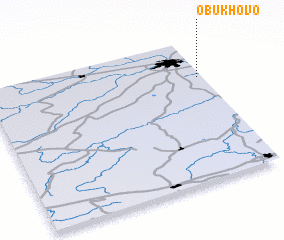 Places with similar names to Obukhovo, Russia ::
Disclaimer :: Information on this page comes without warranty of any kind |
||
|
Where is Obukhovo? Elevation and coordinates ::
Latitude (lat): 56°43'37"N Longitude (lon): 35°58'32"E
Elevation (approx.): 194m (map arrows pan, magnifying glasses zoom) |
||
|
Visiting Obukhovo? Hotel/Accommodation ::
Book a hotel in Obukhovo Travel Guide ::
Buy a travel guide for Russia rental cars ::
car rental offers GPS waypoint ::
download a GPX waypoint (PoI) of Obukhovo for your GPS receiver
|
||