|
search place name
|
||
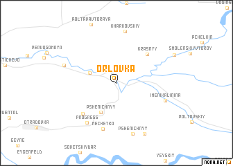
Orlovka (Rostovskaya Oblast', Russia)Orlovka is a town in the Rostovskaya Oblast' region of Russia. An overview map of the region around Orlovka is displayed below.
regional and 3d topo map of Orlovka, Russia ::
Orlovka airports ::
The nearest airport is ROV - Rostov Na Donu, located 75.3 km north east of Orlovka.
Other airports nearby include DOK - Donetsk Intl (186.6 km north west), KRR - Krasnodar Pashkovskiy (187.8 km south), Nearby towns ::
Markov (3.4km north west) //
Pshenichnyy (5.0km south) //
Krasnyy (5.7km north east) //
Lesnoy Kul'bakinskiy (6.2km south west) //
Mechetka (7.5km south) //
Progress (7.2km south west) //
Imeni Kalinina (6.1km south east) //
Khar'kovskiy (8.4km north) //
Pshenichnyy (8.4km south) //
Posëlok Lesnichestva (6.5km north west) //
Khlopov (8.8km south) //
[all distances 'as the bird flies' and approximate] 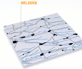 Places with similar names to Orlovka, Russia ::
Disclaimer :: Information on this page comes without warranty of any kind |
||
|
Where is Orlovka? Elevation and coordinates ::
Latitude (lat): 46°43'27"N Longitude (lon): 39°12'34"E
Elevation (approx.): 17m (map arrows pan, magnifying glasses zoom) |
||
|
Visiting Orlovka? Hotel/Accommodation ::
Book a hotel in Orlovka Travel Guide ::
Buy a travel guide for Russia rental cars ::
car rental offers GPS waypoint ::
download a GPX waypoint (PoI) of Orlovka for your GPS receiver
|
||