|
search place name
|
||
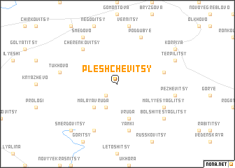
Pleshchevitsy (Leningradskaya Oblast', Russia)Pleshchevitsy is a town in the Leningradskaya Oblast' region of Russia. An overview map of the region around Pleshchevitsy is displayed below.
regional and 3d topo map of Pleshchevitsy, Russia ::
Pleshchevitsy airports ::
The nearest airport is LED - St. Petersburg Pulkovo, located 67.4 km north east of Pleshchevitsy.
Other airports nearby include LPP - Lappeenranta (186.5 km north), Nearby towns ::
Konokhovitsy (2.1km south west) //
Treskovitsy (3.8km south) //
Malaya Vruda (4.2km south west) //
Vruda (5.6km south) //
Khudanki (4.2km north east) //
Yamki (7.5km south) //
Cherenkovitsy (6.2km north west) //
Artyushkino (7.6km north) //
Poddub'ye (7.6km north) //
Malyye Syaglitsy (5.3km south east) //
Bol'shaya Vruda (7.6km south) //
Bol'shiye Syaglitsy (6.7km south east) //
Smedovo (7.9km north) //
Smerdovitsy (8.3km south west) //
[all distances 'as the bird flies' and approximate] 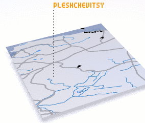 Places with similar names to Pleshchevitsy, Russia :: Disclaimer :: Information on this page comes without warranty of any kind |
||
|
Where is Pleshchevitsy? Elevation and coordinates ::
Latitude (lat): 59°28'0"N Longitude (lon): 29°16'0"E
Elevation (approx.): 139m (map arrows pan, magnifying glasses zoom) |
||
|
Visiting Pleshchevitsy? Hotel/Accommodation ::
Book a hotel in Pleshchevitsy Travel Guide ::
Buy a travel guide for Russia rental cars ::
car rental offers GPS waypoint ::
download a GPX waypoint (PoI) of Pleshchevitsy for your GPS receiver
|
||