|
search place name
|
||
Los Altos (California, United States - USA)Los Altos is a town in the California region of United States - USA. An overview map of the region around Los Altos is displayed below.
regional and 3d topo map of Los Altos, United States - USA ::

Los Altos airports ::
The nearest airport is LGB - Long Beach, located 3.6 km north west of Los Altos.
Other airports nearby include HHR - Jack Northrop Fld Hawthorne Muni (24.2 km north west), SNA - Santa Ana John Wayne Arpt Orange Co (27.1 km south east), LAX - Los Angeles Intl (31.0 km north west), BUR - Burbank Bob Hope (50.0 km north west), Nearby towns ::
Belmont Shore (4.2km south) //
Rossmoor (3.8km east) //
Signal Hill (4.1km west) //
Leisure World (4.7km south east) //
Los Alamitos (5.0km east) //
Seal Beach (6.1km south) //
Lakewood (6.7km north) //
California Heights (6.0km north west) //
Hawaiian Gardens (6.4km north east) //
Willowville (6.0km west) //
Bixby Knolls (6.6km north west) //
Long Beach (6.6km south west) //
Douglas Junction (7.8km north west) //
Vista del Mar (7.3km west) //
Surfside (8.4km south east) //
Dolley (8.6km north) //
Artesia (8.9km north east) //
Bingham (8.4km north east) //
Cerritos (9.1km north east) //
La Palma (9.3km north east) //
Huntington Harbour (9.9km south east) //
Sunset Beach (10.1km south east) //
[all distances 'as the bird flies' and approximate] 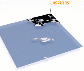 Places with similar names to Los Altos, United States - USA ::
// Los Altos (BZ)
// Los Altos (US)
// Los Lotes (PA)
// Las Celadas (ES)
// Las Ledas (ES)
// Las Saladas (ES)
// Los Lodos (ES)
// Las Olitas (CO)
// Los Altos (CO)
// Los Altos (CO)
Disclaimer :: Information on this page comes without warranty of any kind |
||
|
Where is Los Altos? Elevation and coordinates ::
Latitude (lat): 33°47'38"N Longitude (lon): 118°7'28"W
Elevation (approx.): 9m (map arrows pan, magnifying glasses zoom) |
||
|
Visiting Los Altos? Hotel/Accommodation ::
Book a hotel in Los Altos Travel Guide ::
rental cars ::
car rental offers GPS waypoint ::
download a GPX waypoint (PoI) of Los Altos for your GPS receiver
|
||