|
search place name
|
||
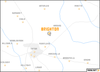
Brighton (Georgia, United States - USA)Brighton is a town in the Georgia region of United States - USA. An overview map of the region around Brighton is displayed below.
regional and 3d topo map of Brighton, United States - USA ::
Brighton airports ::
The nearest airport is VAD - Valdosta Moody Afb, located 64.4 km south east of Brighton.
Other airports nearby include WRB - Macon Robins Afb (126.8 km north), MCN - Macon Middle Georgia Rgnl (133.2 km north), TLH - Tallahassee Rgnl (149.5 km south west), LSF - Fort Benning Lawson Aaf (172.2 km north west), Nearby towns ::
Harding (3.8km north east) //
Ferry Lake (4.2km south) //
Vanceville (7.9km south) //
Tifton (7.6km south west) //
Unionville (9.1km south west) //
Phillipsburg (9.2km south west) //
[all distances 'as the bird flies' and approximate] 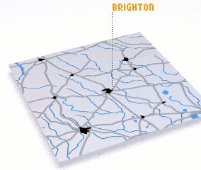 Places with similar names to Brighton, United States - USA ::
Disclaimer :: Information on this page comes without warranty of any kind |
||
|
Where is Brighton? Elevation and coordinates ::
Latitude (lat): 31°30'9"N Longitude (lon): 83°27'22"W
Elevation (approx.): 123m (map arrows pan, magnifying glasses zoom) |
||
|
Visiting Brighton? Hotel/Accommodation ::
Book a hotel in Brighton Travel Guide ::
rental cars ::
car rental offers GPS waypoint ::
download a GPX waypoint (PoI) of Brighton for your GPS receiver
|
||