|
search place name
|
||
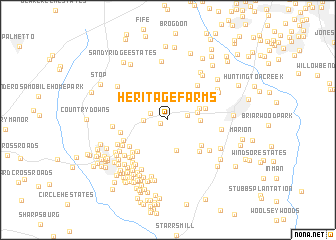
Heritage Farms (Georgia, United States - USA)Heritage Farms is a town in the Georgia region of United States - USA. An overview map of the region around Heritage Farms is displayed below.
regional and 3d topo map of Heritage Farms, United States - USA ::
Heritage Farms airports ::
The nearest airport is ATL - Hartsfield Jackson Atlanta Intl, located 23.1 km north of Heritage Farms.
Other airports nearby include MGE - Marietta Dobbins Arb (Atlanta Nas) (52.3 km north), MCN - Macon Middle Georgia Rgnl (116.4 km south east), WRB - Macon Robins Afb (124.4 km south east), ANB - Anniston Metro (125.3 km west), Nearby towns ::
Marnelle Mobile Home Park (0.8km south west) //
Smiths Crossroads (1.8km north west) //
Ledgewood (1.8km east) //
Fayette Villa Estates (2.3km west) //
Lakeview Estates (2.8km east) //
Bridger Point (3.5km south) //
Brookcliff (3.0km east) //
Forest Hills (3.2km north east) //
Forest Estates (3.7km east) //
Marilyn Acres (3.9km north east) //
Coventry Estates (4.2km south east) //
Groveland (4.5km south west) //
Rolling Meadows Estates (4.6km south east) //
Beverly Manor (4.7km north east) //
Shake Rag (4.6km south west) //
Timberidge (4.6km north west) //
Robinson Wood Estates (4.9km south west) //
Stoney Brook Plantation (4.6km west) //
Parkway Estates (4.7km south west) //
Whitfield Farms (5.3km south west) //
Gregory Estates (5.1km south east) //
North Peachtree Estates (5.1km south west) //
Fetlock Meadows (5.6km south west) //
Quail Hollow (5.1km east) //
Windgate Forest (5.8km south west) //
Fernwood (5.8km south west) //
Smoke Rise Plantation (5.2km west) //
Camp Creek Estates (6.0km south west) //
Greers Mountain (5.5km south west) //
[all distances 'as the bird flies' and approximate] 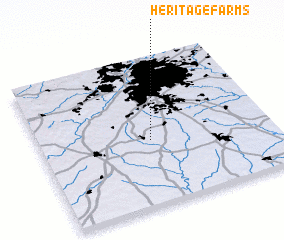 Places with similar names to Heritage Farms, United States - USA ::
Disclaimer :: Information on this page comes without warranty of any kind |
||
|
Where is Heritage Farms? Elevation and coordinates ::
Latitude (lat): 33°26'37"N Longitude (lon): 84°31'15"W
Elevation (approx.): 290m (map arrows pan, magnifying glasses zoom) |
||
|
Visiting Heritage Farms? Hotel/Accommodation ::
Book a hotel in Heritage Farms Travel Guide ::
rental cars ::
car rental offers GPS waypoint ::
download a GPX waypoint (PoI) of Heritage Farms for your GPS receiver
|
||