|
search place name
|
||
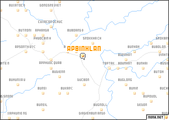
Ấp Bình Lan (Sông Bé, Vietnam)Ấp Bình Lan is a town in the Sông Bé region of Vietnam. An overview map of the region around Ấp Bình Lan is displayed below.
regional and 3d topo map of Ấp Bình Lan, Vietnam ::
Ấp Bình Lan airports ::
The nearest airport is SGN - Ho Chi Minh City Tansonnhat Intl, located 115.9 km south west of Ấp Bình Lan.
Nearby towns ::
Ấp Phước Thinh (2.6km north west) //
Srok Khach (4.1km north east) //
Ấp N'houar (4.1km north west) //
Ấp Phước Lôc (4.1km north west) //
Ðức Bổn (5.6km south) //
Taptak (5.7km east) //
Bu Board (1) (5.8km north) //
Bu Dienn (6.6km south west) //
Ấp Phước Quả A (7.3km west) //
Bu Thion (7.5km east) //
Ấp Phước Quả B (7.5km west) //
Bu Kar (2) (8.3km south west) //
Bu Kar (1) (9.2km south west) //
Cư Xá Công Chức (10.4km north west) //
[all distances 'as the bird flies' and approximate] 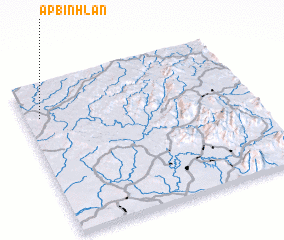 Places with similar names to Ấp Bình Lan, Vietnam :: Disclaimer :: Information on this page comes without warranty of any kind |
||
|
Where is Ấp Bình Lan? Elevation and coordinates ::
Latitude (lat): 11°47'0"N Longitude (lon): 107°4'0"E
Elevation (approx.): 216m (map arrows pan, magnifying glasses zoom) |
||
|
Visiting Ấp Bình Lan? Hotel/Accommodation ::
Book a hotel in Ấp Bình Lan Travel Guide ::
Buy a travel guide for Vietnam rental cars ::
car rental offers GPS waypoint ::
download a GPX waypoint (PoI) of Ấp Bình Lan for your GPS receiver
|
||