|
search place name
|
||
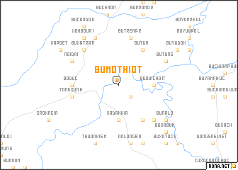
Bu Mo Thiôt (Sông Bé, Vietnam)Bu Mo Thiôt is a town in the Sông Bé region of Vietnam. An overview map of the region around Bu Mo Thiôt is displayed below.
regional and 3d topo map of Bu Mo Thiôt, Vietnam ::
Bu Mo Thiôt airports ::
The nearest airport is SGN - Ho Chi Minh City Tansonnhat Intl, located 129.1 km south of Bu Mo Thiôt.
Nearby towns ::
Bu Nui Blok (2.6km south east) //
Bu Núi Choit (5.4km east) //
Xã Dak Kia (5.6km south) //
Bu Korla Tiudul (6.6km south east) //
Bu Tun (6.6km north east) //
Bô Dức (7.3km west) //
Bu Trênâr (7.6km north) //
Tong Xưnh (7.5km west) //
Bu Korla Nleu (7.8km south east) //
Bu Xa Trần (7.8km north west) //
Bu Tung (8.1km north east) //
Ấp Phước Thiện (1) (8.3km north west) //
Nối Dài (8.1km north west) //
Xóm Bouri (9.2km north west) //
Bu Na Lo (9.1km south east) //
Bu Nhar Tal (9.1km south east) //
Bu Xà Bum (10.4km south east) //
[all distances 'as the bird flies' and approximate] 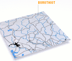 Places with similar names to Bu Mo Thiôt, Vietnam :: Disclaimer :: Information on this page comes without warranty of any kind |
||
|
Where is Bu Mo Thiôt? Elevation and coordinates ::
Latitude (lat): 11°58'0"N Longitude (lon): 106°52'0"E
Elevation (approx.): 120m (map arrows pan, magnifying glasses zoom) |
||
|
Visiting Bu Mo Thiôt? Hotel/Accommodation ::
Book a hotel in Bu Mo Thiôt Travel Guide ::
Buy a travel guide for Vietnam rental cars ::
car rental offers GPS waypoint ::
download a GPX waypoint (PoI) of Bu Mo Thiôt for your GPS receiver
|
||