|
search place name
|
||
Lang Trương (Vietnam)Lang Trương is a town in Vietnam. An overview map of the region around Lang Trương is displayed below.
regional and 3d topo map of Lang Trương, Vietnam ::

Lang Trương airports ::
The nearest airport is HAN - Hanoi Noibai Intl, located 74.4 km north east of Lang Trương.
Nearby towns ::
Làng Nưa (1.7km east) //
Làng Chà (1.7km west) //
Làng Nàng (2.5km north west) //
Bay Chuyên (2.5km south west) //
Làng Tháu (3.5km east) //
Làng Mó (3.7km north) //
Làng Diâm (3.7km north) //
Lương Thân (3.7km south) //
Làng Trai (3.7km south) //
Làng Biêng (3.9km north east) //
Làng Voi (3.9km south east) //
Ngănh Trê (3.9km south west) //
Làng Mai (4.1km north west) //
Xóm Lón (4.1km south west) //
Làng Ngu (5.1km north west) //
Con Dan (5.2km west) //
Làng Mang (5.8km south) //
Làng Hai (5.8km north) //
Lỗ Lạo (6.4km north west) //
Làng Mõ (6.6km south east) //
Hang Thau (6.4km south west) //
Làng Vach (7.2km east) //
Làng Tung Ang (7.6km south) //
Quỳnh Lâm (7.2km east) //
Na Ðê (8.2km north west) //
Bắc Phong (9.1km south east) //
Hào Tráng (9.1km south west) //
Xóm Giãi (9.1km south east) //
Xóm Man (9.1km south east) //
[all distances 'as the bird flies' and approximate] 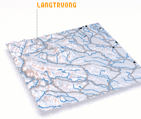 Places with similar names to Lang Trương, Vietnam ::
// Langata Rongai (KE)
// Làng Trang (VN)
// Làng Trang (VN)
// Làng Trang (VN)
// Làng Trang (VN)
// Làng Trang (VN)
// Làng Trang (VN)
// Làng Trang (VN)
// Làng Trăng (VN)
// Làng Tràng (VN)
Disclaimer :: Information on this page comes without warranty of any kind |
||
|
Where is Lang Trương? Elevation and coordinates ::
Latitude (lat): 20°48'0"N Longitude (lon): 105°15'0"E
Elevation (approx.): 118m (map arrows pan, magnifying glasses zoom) |
||
|
Visiting Lang Trương? Hotel/Accommodation ::
Book a hotel in Lang Trương Travel Guide ::
Buy a travel guide for Vietnam rental cars ::
car rental offers GPS waypoint ::
download a GPX waypoint (PoI) of Lang Trương for your GPS receiver
|
||