|
search place name
|
||
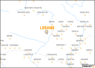
Lo Sui Bé (Vietnam)Lo Sui Bé is a town in Vietnam. An overview map of the region around Lo Sui Bé is displayed below.
regional and 3d topo map of Lo Sui Bé, Vietnam ::
Lo Sui Bé airports ::
The nearest airport is HAN - Hanoi Noibai Intl, located 130.8 km east of Lo Sui Bé.
Nearby towns ::
Ko Yé San (1) (1.7km east) //
Làng Se (2.5km north east) //
Ko Yé San (2) (3.5km east) //
San Ho (4.1km north east) //
Sung Pa (3.9km south east) //
Tan Si Ta (5.2km east) //
Tsu Kan (1) (5.5km east) //
Sung Pa (5.5km east) //
Làng Tio (5.5km east) //
Som Búc (5.5km east) //
Su Mai (6.4km north east) //
Tsu Kan (2) (7.2km east) //
Bản Lãu Xán (7.6km north) //
Quang Huy (7.6km south east) //
Pai Tiou La Ma (7.8km north east) //
Làng Tu Quan (7.8km north east) //
Làng Mon (10.1km south west) //
[all distances 'as the bird flies' and approximate] 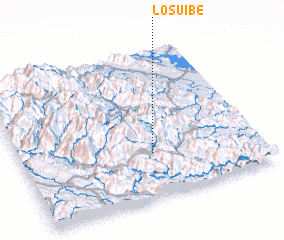 Places with similar names to Lo Sui Bé, Vietnam ::
Disclaimer :: Information on this page comes without warranty of any kind |
||
|
Where is Lo Sui Bé? Elevation and coordinates ::
Latitude (lat): 21°18'0"N Longitude (lon): 104°33'0"E
Elevation (approx.): 803m (map arrows pan, magnifying glasses zoom) |
||
|
Visiting Lo Sui Bé? Hotel/Accommodation ::
Book a hotel in Lo Sui Bé Travel Guide ::
Buy a travel guide for Vietnam rental cars ::
car rental offers GPS waypoint ::
download a GPX waypoint (PoI) of Lo Sui Bé for your GPS receiver
|
||