|
search place name
|
||
Tả Phìn (Lai Châu, Vietnam)Tả Phìn is a town in the Lai Châu region of Vietnam. An overview map of the region around Tả Phìn is displayed below.
regional and 3d topo map of Tả Phìn, Vietnam ::
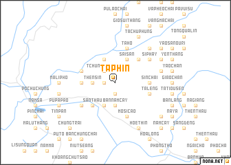
Nearby towns ::
Po Ma Ho (1.7km west) //
Khoang Thèn (1.9km south) //
Tchung Chu Vang (2.5km north west) //
Mu Sang (2.5km north west) //
Then Sin (3.4km west) //
Bản Năm Cay (3.7km south) //
Nam Cay (4.1km south west) //
Kin Chu Chung (4.1km south west) //
Kièu Phàng Pản Po (4.1km north west) //
Sài San (4.1km north east) //
Kièu Phàng Pản Po (4.1km north east) //
San Thàu (5.0km south west) //
Cao Sin Chai (5.0km north east) //
Ma Quoai Thang (5.1km west) //
Sin Chải (5.1km east) //
Pin Thậu Chải (5.5km east) //
Ta Leng (5.5km east) //
Kin Ki Thang (5.5km west) //
Mo Si Cao (5.8km south) //
Ta Ho (5.8km north) //
Pà Páo (6.3km south west) //
Si Phay (6.3km north east) //
Là Sui Chai (7.1km east) //
Ko Ti Tang (7.6km north east) //
Hoe Thin (8.2km south east) //
Penn Po (7.8km north east) //
Ta Chù Phung (8.2km north east) //
Ho Sao Chải (8.8km south east) //
Yao San Meo (8.8km north east) //
[all distances 'as the bird flies' and approximate] 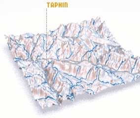 Places with similar names to Tả Phìn, Vietnam ::
Disclaimer :: Information on this page comes without warranty of any kind |
||
|
Where is Tả Phìn? Elevation and coordinates ::
Latitude (lat): 22°38'0"N Longitude (lon): 103°17'0"E
Elevation (approx.): 1029m (map arrows pan, magnifying glasses zoom) |
||
|
Visiting Tả Phìn? Hotel/Accommodation ::
Book a hotel in Tả Phìn Travel Guide ::
Buy a travel guide for Vietnam rental cars ::
car rental offers GPS waypoint ::
download a GPX waypoint (PoI) of Tả Phìn for your GPS receiver
|
||