|
search place name
|
||
Ho Sao Chải (Lai Châu, Vietnam)Ho Sao Chải is a town in the Lai Châu region of Vietnam. An overview map of the region around Ho Sao Chải is displayed below.
regional and 3d topo map of Ho Sao Chải, Vietnam ::
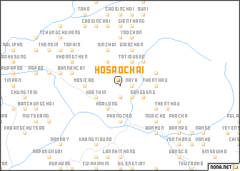
Nearby towns ::
Nàm Cáy (1.9km south) //
Na Ya (1.7km east) //
Na Vang (2.5km south east) //
Bản Lang (2.5km north east) //
Hoe Thin (3.9km south west) //
Sàng Dêng (3.9km south east) //
Hoa Long (4.1km south west) //
Na Cúng (3.9km north east) //
Pin Thậu Chải (4.1km north west) //
Ta Leng (4.1km north west) //
Ta Tiou Sen (4.1km north east) //
Sì Tháu Chải (5.0km north east) //
Mo Si Cao (5.1km west) //
Phong Thổ (5.6km south) //
Thèn Thầu (5.1km east) //
Sin Chải (5.8km north) //
Giao Chản (5.8km north) //
Na Giang (5.5km east) //
San Gì (6.3km south east) //
Là Sui Chai (7.4km north) //
Yao Chản (7.6km north) //
Bản Năm Cay (7.1km west) //
Ngài Chồ (7.6km south east) //
Then Thầu (7.8km south east) //
Khoang Thèn (7.8km north west) //
Bản Mứn (9.0km south east) //
Tả Phìn (8.8km north west) //
[all distances 'as the bird flies' and approximate] 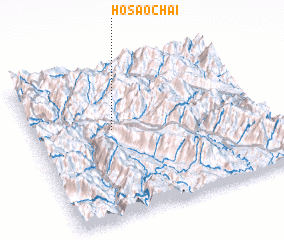 Places with similar names to Ho Sao Chải, Vietnam ::
Disclaimer :: Information on this page comes without warranty of any kind |
||
|
Where is Ho Sao Chải? Elevation and coordinates ::
Latitude (lat): 22°35'0"N Longitude (lon): 103°21'0"E
Elevation (approx.): 963m (map arrows pan, magnifying glasses zoom) |
||
|
Visiting Ho Sao Chải? Hotel/Accommodation ::
Book a hotel in Ho Sao Chải Travel Guide ::
Buy a travel guide for Vietnam rental cars ::
car rental offers GPS waypoint ::
download a GPX waypoint (PoI) of Ho Sao Chải for your GPS receiver
|
||