|
search place name
|
||
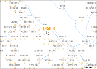
Ta Sinh (Vietnam)Ta Sinh is a town in Vietnam. An overview map of the region around Ta Sinh is displayed below.
regional and 3d topo map of Ta Sinh, Vietnam ::
Ta Sinh airports ::
The nearest airport is HAN - Hanoi Noibai Intl, located 247.3 km south east of Ta Sinh.
Nearby towns ::
Na Loc (0.0km north) //
Bản Qua (1.7km west) //
Cốc Phuc (1.7km west) //
Bản Vai (1.7km west) //
Na Bon (1.7km east) //
Dong Phan (1.7km east) //
Làng Tan (1.9km south) //
Làng Nang (1.9km south) //
Bản Yen Tcha (2.5km north west) //
Bản Vài (2.5km south west) //
Basa (2.9km north) //
Ma Tinh (3.7km south) //
Bản Lang (3.7km south) //
Bản Vền (3.4km west) //
Niou Tsang (3.4km west) //
Bản Kiang Sui Tao (4.1km south west) //
Nhat Son (4.1km south east) //
Bàn Kiang (4.1km south east) //
Nà Loc (3.9km north west) //
Bản Vien (3.9km north west) //
Vi Phai (3.9km south west) //
Loung Tang (3.9km south west) //
Lung Hang (3.9km south east) //
Bản Quang (5.0km south east) //
Ta Sin (5.1km west) //
Bản Vien Soui Tao (5.5km west) //
Sin Pong (5.5km west) //
Na Nam (5.5km west) //
Na Làm (5.5km west) //
[all distances 'as the bird flies' and approximate] 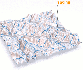 Places with similar names to Ta Sinh, Vietnam ::
Disclaimer :: Information on this page comes without warranty of any kind |
||
|
Where is Ta Sinh? Elevation and coordinates ::
Latitude (lat): 22°33'0"N Longitude (lon): 103°53'0"E
Elevation (approx.): 108m (map arrows pan, magnifying glasses zoom) |
||
|
Visiting Ta Sinh? Hotel/Accommodation ::
Book a hotel in Ta Sinh Travel Guide ::
Buy a travel guide for Vietnam rental cars ::
car rental offers GPS waypoint ::
download a GPX waypoint (PoI) of Ta Sinh for your GPS receiver
|
||