|
search place name
|
||
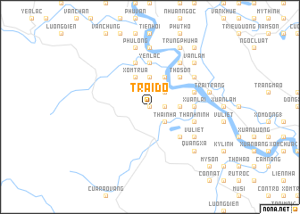
Trai Ðỏ (Vietnam)Trai Ðỏ is a town in Vietnam. An overview map of the region around Trai Ðỏ is displayed below.
regional and 3d topo map of Trai Ðỏ, Vietnam ::
Trai Ðỏ airports ::
The nearest airport is SNO - Sakon Nakhon, located 211.3 km south west of Trai Ðỏ.
Nearby towns ::
Xóm Thái Hòa (0.0km north) //
Bão Dức (1.8km east) //
Thanh Nhàn (1.8km east) //
Trung Lâm (1.8km east) //
Thái Nhã (2.6km south east) //
Dồng Luân (2.6km north east) //
Quân Khố (2.6km north east) //
Thanh Qua (3.5km east) //
Tương Cát (3.5km east) //
Xóm Ðông Giang (3.7km north) //
An Hôi (3.7km north) //
Thach Sơn (4.1km north east) //
Ði Luân (4.1km north east) //
Xóm Trua (4.1km north west) //
Xóm Nhuan Ha (4.1km north east) //
Tam Dang (5.1km south east) //
Thọ Son (5.1km north east) //
Thanh Lá (5.6km north) //
Yên Lac (5.6km north) //
Xuân Lai (5.3km east) //
Làng Bo (5.6km north) //
Dong Du (5.6km north) //
Thanh Ninh (5.6km east) //
Gia Hy (5.6km east) //
Minh Triết (5.6km east) //
Thanh Liêu (5.8km north) //
Vũ Liệt (6.4km south east) //
Thanh Le (6.6km north east) //
Lãng Khê (6.4km north east) //
[all distances 'as the bird flies' and approximate] 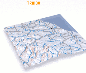 Places with similar names to Trai Ðỏ, Vietnam ::
Disclaimer :: Information on this page comes without warranty of any kind |
||
|
Where is Trai Ðỏ? Elevation and coordinates ::
Latitude (lat): 18°44'0"N Longitude (lon): 105°18'0"E
Elevation (approx.): 13m (map arrows pan, magnifying glasses zoom) |
||
|
Visiting Trai Ðỏ? Hotel/Accommodation ::
Book a hotel in Trai Ðỏ Travel Guide ::
Buy a travel guide for Vietnam rental cars ::
car rental offers GPS waypoint ::
download a GPX waypoint (PoI) of Trai Ðỏ for your GPS receiver
|
||