|
search place name
|
||
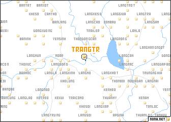
Tràng Tr (Vietnam)Tràng Tr is a town in Vietnam. An overview map of the region around Tràng Tr is displayed below.
regional and 3d topo map of Tràng Tr, Vietnam ::
Tràng Tr airports ::
The nearest airport is HAN - Hanoi Noibai Intl, located 213.0 km north of Tràng Tr.
Nearby towns ::
Cồn Soi (1.9km south) //
Làng Tri (2.5km north east) //
Thôn Ðồng Cần (3.7km north) //
Làng Mó (3.7km south) //
Làng Xuôợng (3.5km west) //
Cồn Ðâm (4.1km north east) //
Kẻ Thiêu (4.0km south west) //
Làng Kinh (5.1km south west) //
Làng Ðồng Bai (5.1km south east) //
Mô Ấp (5.2km west) //
Kẻ Mo (5.2km west) //
Kẻ Mùng (5.2km west) //
Trại Lép (5.8km north) //
Làng Sống (5.6km west) //
Làng Khớt (6.4km south east) //
Khẻ Lúng (6.6km south west) //
Yên Sinh (6.4km north west) //
Làng Vĩn (6.6km north east) //
Làng Nại (6.6km north east) //
Làng Ðong (6.6km south east) //
Làng Ðồng (7.0km west) //
Làng Ðồng Bọ (7.0km west) //
Cao Trai (7.0km east) //
Làng Giộn (7.2km west) //
Làng Cáo (7.6km north) //
Làng La (7.9km south west) //
Làng Rồng (7.9km north east) //
Ðồng Mồ (8.2km north east) //
Xóm Bàu (9.1km north east) //
[all distances 'as the bird flies' and approximate] 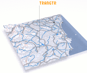 Places with similar names to Tràng Tr, Vietnam ::
Disclaimer :: Information on this page comes without warranty of any kind |
||
|
Where is Tràng Tr? Elevation and coordinates ::
Latitude (lat): 19°21'0"N Longitude (lon): 105°20'0"E
Elevation (approx.): 46m (map arrows pan, magnifying glasses zoom) |
||
|
Visiting Tràng Tr? Hotel/Accommodation ::
Book a hotel in Tràng Tr Travel Guide ::
Buy a travel guide for Vietnam rental cars ::
car rental offers GPS waypoint ::
download a GPX waypoint (PoI) of Tràng Tr for your GPS receiver
|
||