|
search place name
|
||
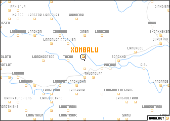
Xóm Ba Lũ (Vietnam)Xóm Ba Lũ is a town in Vietnam. An overview map of the region around Xóm Ba Lũ is displayed below.
regional and 3d topo map of Xóm Ba Lũ, Vietnam ::
Xóm Ba Lũ airports ::
The nearest airport is DAD - Danang Intl, located 170.4 km south east of Xóm Ba Lũ.
Other airports nearby include PKZ - Pakse (196.5 km south west), ZVK - Savannakhet (210.9 km west), Nearby towns ::
Châu Làng Chánh (1.9km south) //
Tà Cơn (3.6km west) //
Làng Ta Tục (3.6km west) //
Khe Sanh (3.7km south) //
Thương Van (4.1km south east) //
Hương Hóa (4.1km south east) //
Làng Khoai (1) (4.0km south east) //
Ấp La Viên (5.1km north west) //
Xã Bài (5.6km north) //
Làng Huo Ha (5.8km south) //
Ra Cô Ấp (5.6km east) //
Làng Kat (1) (5.6km east) //
Làng Xóm (6.6km north east) //
Bóng Kho (7.1km east) //
Làng Pa Ka (7.6km south) //
Làng Vây (7.7km south west) //
Xóm Bông (7.7km north west) //
Xã Làng Miêt (7.7km north west) //
Làng Rươn (8.0km north west) //
Làng Haren (8.2km south east) //
Làng Troai (10.3km south west) //
Làng Huc Coc Giang (10.3km south east) //
[all distances 'as the bird flies' and approximate] 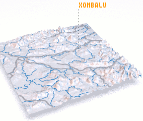 Places with similar names to Xóm Ba Lũ, Vietnam ::
Disclaimer :: Information on this page comes without warranty of any kind |
||
|
Where is Xóm Ba Lũ? Elevation and coordinates ::
Latitude (lat): 16°39'0"N Longitude (lon): 106°44'0"E
Elevation (approx.): 457m (map arrows pan, magnifying glasses zoom) |
||
|
Visiting Xóm Ba Lũ? Hotel/Accommodation ::
Book a hotel in Xóm Ba Lũ Travel Guide ::
Buy a travel guide for Vietnam rental cars ::
car rental offers GPS waypoint ::
download a GPX waypoint (PoI) of Xóm Ba Lũ for your GPS receiver
|
||