|
search place name
|
||
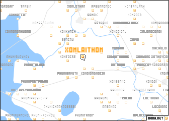
Xóm Lai Thôm (Tây Ninh, Vietnam)Xóm Lai Thôm is a town in the Tây Ninh region of Vietnam. An overview map of the region around Xóm Lai Thôm is displayed below.
regional and 3d topo map of Xóm Lai Thôm, Vietnam ::
Xóm Lai Thôm airports ::
The nearest airport is SGN - Ho Chi Minh City Tansonnhat Intl, located 61.5 km south east of Xóm Lai Thôm.
Other airports nearby include PNH - Phnom-penh Phnom Penh Intl (152.6 km west), Nearby towns ::
Xóm Ba Ao (1.9km south) //
Ấp An Thuận (2.6km south east) //
Ấp Rừng Ðan (2.6km north west) //
Xóm Tiên Thôm (2.6km north west) //
Xóm Tóc Sé (3.6km west) //
Xóm Giồng Mồ Côi (4.1km south east) //
Phumĭ Bavĕt (2) (4.1km south west) //
Ấp Bào Gỏ (4.1km north east) //
Phumĭ Bavĕt (1) (5.2km south west) //
Bến Cầu (5.2km north west) //
Ấp Bến Ðình (5.6km north) //
Ấp Bào Tràm (5.8km north) //
Ấp Cái Tắc (5.8km west) //
Ấp Long Huỳnh (6.6km north west) //
Ấp Bảo (6.6km north west) //
Xóm Khách (6.6km north west) //
Gò Dầu Thượng (7.3km east) //
An Thạnh (7.5km east) //
Xóm Dầm (7.5km east) //
Ấp Bàu Lùng (8.3km south east) //
Ấp Tra Võ (8.3km north east) //
Ấp Bông Trang (1) (8.3km north east) //
Xóm Bến Mới (9.2km south east) //
Ấp Cà Nhen Trên (9.2km south east) //
Xóm Doi Dầu (9.2km north east) //
Ấp Giữa (9.2km north east) //
Ấp Long Thạnh (9.2km north west) //
Xóm Chuối Nước (9.2km north west) //
Ấp Nhì (2) (9.2km north east) //
[all distances 'as the bird flies' and approximate] 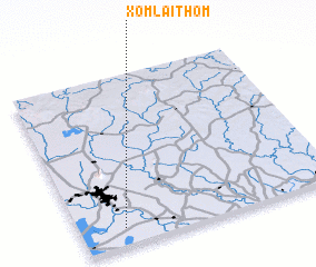 Places with similar names to Xóm Lai Thôm, Vietnam :: Disclaimer :: Information on this page comes without warranty of any kind |
||
|
Where is Xóm Lai Thôm? Elevation and coordinates ::
Latitude (lat): 11°6'0"N Longitude (lon): 106°10'0"E
Elevation (approx.): 4m (map arrows pan, magnifying glasses zoom) |
||
|
Visiting Xóm Lai Thôm? Hotel/Accommodation ::
Book a hotel in Xóm Lai Thôm Travel Guide ::
Buy a travel guide for Vietnam rental cars ::
car rental offers GPS waypoint ::
download a GPX waypoint (PoI) of Xóm Lai Thôm for your GPS receiver
|
||