|
search place name
|
||
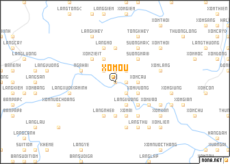
Xóm Ôu (Vĩnh Phú, Vietnam)Xóm Ôu is a town in the Vĩnh Phú region of Vietnam. An overview map of the region around Xóm Ôu is displayed below.
regional and 3d topo map of Xóm Ôu, Vietnam ::
Xóm Ôu airports ::
The nearest airport is HAN - Hanoi Noibai Intl, located 94.3 km east of Xóm Ôu.
Nearby towns ::
Xóm Giác (0.0km north) //
Làng Tien (1.9km north) //
Xóm Tăng (1.7km east) //
Xóm Bốn (1.7km east) //
Thu Cúc (2.5km north east) //
Làng Con (2) (2.5km north west) //
Xóm Ban (2.5km south east) //
Xóm Câu (3.5km east) //
Xóm Vương (3.9km south east) //
Làng Con (1) (4.1km north west) //
Làng Vướng (4.1km south east) //
Làng Phật (4.1km south east) //
Sương Mai (1) (5.1km north east) //
Xóm Zieit (5.1km north west) //
Làng Queué (5.1km north west) //
Làng Kiêng (1) (5.1km south east) //
Làng Nhé (2) (5.6km south) //
Làng Tho (2) (5.6km north) //
Nga Hai (5.5km west) //
Xóm Ái (5.8km south) //
Làng Lân (5.8km south) //
Làng Nhé (1) (5.8km south) //
Làng Mang (5.8km south) //
Làng Mo (5.8km north) //
Làng Kiêng (2) (6.5km south east) //
Làng Ìt (6.5km south east) //
Sương Mai (2) (6.5km north east) //
Xóm Vào (6.4km south east) //
Làng Kiệt Sơn (6.4km south east) //
[all distances 'as the bird flies' and approximate] 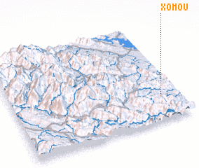 Places with similar names to Xóm Ôu, Vietnam ::
Disclaimer :: Information on this page comes without warranty of any kind |
||
|
Where is Xóm Ôu? Elevation and coordinates ::
Latitude (lat): 21°16'0"N Longitude (lon): 104°54'0"E
Elevation (approx.): 134m (map arrows pan, magnifying glasses zoom) |
||
|
Visiting Xóm Ôu? Hotel/Accommodation ::
Book a hotel in Xóm Ôu Travel Guide ::
Buy a travel guide for Vietnam rental cars ::
car rental offers GPS waypoint ::
download a GPX waypoint (PoI) of Xóm Ôu for your GPS receiver
|
||