|
search place name
|
||
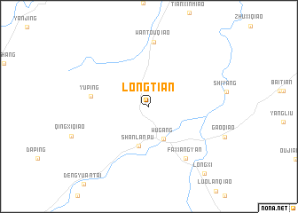
Longtian (Hunan, China)Longtian is a town in the Hunan region of China. An overview map of the region around Longtian is displayed below.
regional and 3d topo map of Longtian, China ::
Longtian airports ::
The nearest airport is KWL - Guilin Liangjiang, located 181.0 km south of Longtian.
Nearby towns ::
Wugang (4.4km south) //
Shanlanpu (5.1km south) //
Yuping (6.6km west) //
Faxiangyan (7.7km south east) //
Wantouqiao (8.1km north) //
Longxi (10.4km south east) //
[all distances 'as the bird flies' and approximate] 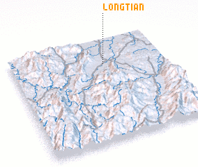 Places with similar names to Longtian, China ::
// Langatian (PH)
// Lung Chen (BT)
// Langutiān (IN)
// Lungtian (IN)
// Langshan (CN)
// Liangtian (CN)
// Lung-shan (TW)
// Langasi-an (PH)
// Lung-ch'üan (TW)
// Lung-ch'üan (TW)
Disclaimer :: Information on this page comes without warranty of any kind |
||
|
Where is Longtian? Elevation and coordinates ::
Latitude (lat): 26°46'3"N Longitude (lon): 110°36'51"E
Elevation (approx.): 334m (map arrows pan, magnifying glasses zoom) |
||
|
Visiting Longtian? Hotel/Accommodation ::
Book a hotel in Longtian Travel Guide ::
Buy a travel guide for China rental cars ::
car rental offers GPS waypoint ::
download a GPX waypoint (PoI) of Longtian for your GPS receiver
|
||