|
search place name
|
||
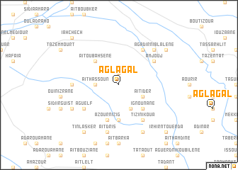
Aglagal (Taroudannt, Morocco)Aglagal is a town in the Taroudannt region of Morocco. An overview map of the region around Aglagal is displayed below.
regional and 3d topo map of Aglagal, Morocco ::
Aglagal airports ::
The nearest airport is AGA - Agadir Inezgane, located 76.6 km west of Aglagal.
Other airports nearby include RAK - Marrakech Menara (155.1 km north east), OZZ - Ouarzazate (188.1 km east), Nearby towns ::
Taourirt nʼ Tikiout (1.9km north) //
Aït Hassoun (3.2km west) //
Aït Ider (3.7km south east) //
Anougoud (4.0km south east) //
Aït Oubahsene (4.9km north west) //
Ignounane (4.9km south east) //
Tarhzout (5.6km south) //
Azour nʼIzig (5.8km south) //
Sidi Hassaïn (6.4km north east) //
Amjouj (6.1km north east) //
Tassila (6.4km south east) //
Tizi nʼIkoua (6.4km south east) //
Aguelf (6.1km south west) //
Irhilane (6.4km west) //
Aït Dris (7.6km south) //
Azour nʼTaourirt (7.3km north east) //
Agadir nʼ Iblalene (7.3km north east) //
Tiout (7.3km north east) //
Aguelz (7.4km south west) //
Timtchit (8.1km south east) //
Igoudine (8.5km north east) //
Tinlasker (8.8km south west) //
Iahchech (9.8km north west) //
Irhir nʼTouerda (9.8km south east) //
[all distances 'as the bird flies' and approximate] 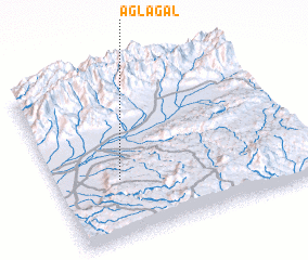 Places with similar names to Aglagal, Morocco ::
Disclaimer :: Information on this page comes without warranty of any kind |
||
|
Where is Aglagal? Elevation and coordinates ::
Latitude (lat): 30°21'0"N Longitude (lon): 8°45'0"W
Elevation (approx.): 736m (map arrows pan, magnifying glasses zoom) |
||
|
Visiting Aglagal? Hotel/Accommodation ::
Book a hotel in Aglagal Travel Guide ::
Buy a travel guide for Morocco rental cars ::
car rental offers GPS waypoint ::
download a GPX waypoint (PoI) of Aglagal for your GPS receiver
|
||