|
search place name
|
||
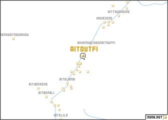
Aït Outfi (Ouarzazate, Morocco)Aït Outfi is a town in the Ouarzazate region of Morocco. An overview map of the region around Aït Outfi is displayed below.
regional and 3d topo map of Aït Outfi, Morocco ::
Aït Outfi airports ::
The nearest airport is OZZ - Ouarzazate, located 111.7 km south west of Aït Outfi.
Other airports nearby include ERH - Er-rachidia Moulay Ali Cherif (154.1 km east), CMN - Casablanca Mohammed V Intl (258.1 km north west), Nearby towns ::
Aït Oudinar (0.9km south west) //
Aït Ouaddar (1.2km south west) //
Aït Ali Ou Säid (1.4km south west) //
Aït Bou Houkou (1.7km south west) //
Aït Idaïr (2.6km south west) //
Aït Ali Ou Haj (2.8km south) //
Aït Ouhahi (2.8km south) //
Zouiet Sidi Daoud (3.7km south west) //
Aït Aïssi (3.6km south west) //
Akhendachou nʼAït Ouffi (3.7km north east) //
Aït el Arbi (6.1km south west) //
Aït Ouglif (6.4km south west) //
Imzoudar (6.8km south) //
Tamellalt (7.5km south west) //
Zouiet Sidi Bou Beker (7.8km south west) //
Tirbadouine (8.2km north east) //
Aït Saïd (9.2km north east) //
Imdiazene (9.3km north east) //
Aït Amer Ou Brahim (9.7km north east) //
Bou Ousakkour (10.1km north east) //
Aït Ben Ali (10.9km south west) //
[all distances 'as the bird flies' and approximate] 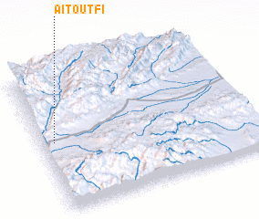 Places with similar names to Aït Outfi, Morocco ::
Disclaimer :: Information on this page comes without warranty of any kind |
||
|
Where is Aït Outfi? Elevation and coordinates ::
Latitude (lat): 31°30'26"N Longitude (lon): 5°56'28"W
Elevation (approx.): 1723m (map arrows pan, magnifying glasses zoom) |
||
|
Visiting Aït Outfi? Hotel/Accommodation ::
Book a hotel in Aït Outfi Travel Guide ::
Buy a travel guide for Morocco rental cars ::
car rental offers GPS waypoint ::
download a GPX waypoint (PoI) of Aït Outfi for your GPS receiver
|
||