|
search place name
|
||
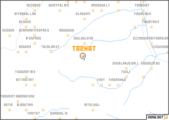
Tarhat (Tata, Morocco)Tarhat is a town in the Tata region of Morocco. An overview map of the region around Tarhat is displayed below.
regional and 3d topo map of Tarhat, Morocco ::
Tarhat airports ::
The nearest airport is AGA - Agadir Inezgane, located 112.4 km north west of Tarhat.
Other airports nearby include OZZ - Ouarzazate (214.2 km north east), RAK - Marrakech Menara (215.9 km north), Nearby towns ::
Ouiloulane (3.7km north) //
Ifesfes (5.8km south) //
Aououdid (6.4km north west) //
Timit (6.4km south east) //
Tazalarht (6.7km west) //
Tirhoumart (7.4km south east) //
Timerrhad (8.5km south east) //
Tazegzaout (8.5km south east) //
[all distances 'as the bird flies' and approximate] 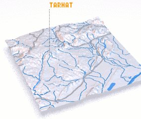 Places with similar names to Tarhat, Morocco ::
// Tara Huta (BO)
// Tarhaout (MA)
// Tourhat (MA)
// Terra Haute (US)
// Terre Haute (US)
// Terre Haute (US)
// Terre Haute (US)
// Deerhead (US)
// Terheide (DE)
// Ytre Hoddøy (NO)
Disclaimer :: Information on this page comes without warranty of any kind |
||
|
Where is Tarhat? Elevation and coordinates ::
Latitude (lat): 29°44'0"N Longitude (lon): 8°39'0"W
Elevation (approx.): 1712m (map arrows pan, magnifying glasses zoom) |
||
|
Visiting Tarhat? Hotel/Accommodation ::
Book a hotel in Tarhat Travel Guide ::
Buy a travel guide for Morocco rental cars ::
car rental offers GPS waypoint ::
download a GPX waypoint (PoI) of Tarhat for your GPS receiver
|
||