|
search place name
|
||
Howit-Howit (Sulu, Philippines)Howit-Howit is a town in the Sulu region of Philippines. An overview map of the region around Howit-Howit is displayed below.
regional and 3d topo map of Howit-Howit, Philippines ::

Howit-Howit airports ::
The nearest airport is ZAM - Zamboanga Intl, located 131.0 km north east of Howit-Howit.
Nearby towns ::
Andalan (1.3km north east) //
Kan-Kabiting (1.4km north east) //
Kankabuting (1.7km east) //
Libung (1.7km south west) //
Bunay (1.8km south) //
Tigbas (2.0km east) //
Bunga-Bunga (2.5km north east) //
Tandu Panuan (2.7km east) //
Gata (3.4km north west) //
Kan-Salihan (3.4km north) //
Tangkuan (3.8km west) //
Angilan (3.8km north) //
Mangas (3.8km south) //
Niyangkaan (3.8km north east) //
Bakuud (4.0km west) //
Patotol (4.0km north) //
Kalang (4.0km south west) //
Kanawa (4.0km north west) //
Bagsak (4.2km south west) //
Cepe (4.3km north west) //
Lianutan (5.0km west) //
Silat (5.1km west) //
Taguias (5.2km north) //
Sukuban (5.7km south west) //
Tiil (5.8km west) //
Lahing-Lahing (6.2km north) //
Kuta Sihi (6.2km south west) //
Kan Basilan (6.3km north west) //
Busi Buai (6.3km south west) //
[all distances 'as the bird flies' and approximate] 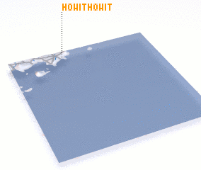 Places with similar names to Howit-Howit, Philippines :: Disclaimer :: Information on this page comes without warranty of any kind |
||
|
Where is Howit-Howit? Elevation and coordinates ::
Latitude (lat): 5°56'57"N Longitude (lon): 121°23'3"E
Elevation (approx.): 40m (map arrows pan, magnifying glasses zoom) |
||
|
Visiting Howit-Howit? Hotel/Accommodation ::
Book a hotel in Howit-Howit Travel Guide ::
Buy a travel guide for Philippines rental cars ::
car rental offers GPS waypoint ::
download a GPX waypoint (PoI) of Howit-Howit for your GPS receiver
|
||