|
search place name
|
||
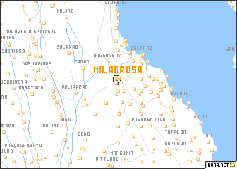
Milagrosa (Cavite, Philippines)Milagrosa is a town in the Cavite region of Philippines. An overview map of the region around Milagrosa is displayed below.
regional and 3d topo map of Milagrosa, Philippines ::
Milagrosa airports ::
The nearest airport is MNL - Manila Ninoy Aquino Intl, located 22.4 km north of Milagrosa.
Nearby towns ::
Mabuhay (0.4km north west) //
Carmona (0.5km north east) //
Mampalasan (1.0km south) //
Cabilang Baybay (1.1km north) //
Langkiwa (1.3km south east) //
Lantic (1.5km south) //
Maduya (2.1km north east) //
Bungahan (2.5km east) //
San Francisco (2.5km north) //
Soro-soro (2.5km north east) //
Jalang (2.7km north) //
Timbao (2.7km south) //
Tubigan (3.1km north east) //
Loma (3.4km south east) //
Maguyam (3.4km south west) //
Mapalasan (3.5km south east) //
San Antonio (3.6km east) //
Boagkoan (3.6km east) //
Magsaysay (4.1km north west) //
Malamig (4.1km south) //
Zapote (4.0km east) //
San Vicente (4.1km north east) //
Langgam (4.2km north west) //
Canlalay (4.3km north east) //
Culong (4.5km south east) //
Binãn (4.7km south) //
San Antonio (4.8km north east) //
Biñan (4.8km north east) //
Platero (4.8km east) //
[all distances 'as the bird flies' and approximate] 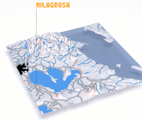 Places with similar names to Milagrosa, Philippines ::
// Melkers (DE)
// Milagres (PT)
// Milagres (PT)
// Milagres (PT)
// Milagros (CU)
// Malyye Karasi (RU)
// Malyye Karzi (RU)
// Milagrosa (CO)
// Milagros (EC)
// Milagros (MX)
Disclaimer :: Information on this page comes without warranty of any kind |
||
|
Where is Milagrosa? Elevation and coordinates ::
Latitude (lat): 14°18'32"N Longitude (lon): 121°3'4"E
Elevation (approx.): 33m (map arrows pan, magnifying glasses zoom) |
||
|
Visiting Milagrosa? Hotel/Accommodation ::
Book a hotel in Milagrosa Travel Guide ::
Buy a travel guide for Philippines rental cars ::
car rental offers GPS waypoint ::
download a GPX waypoint (PoI) of Milagrosa for your GPS receiver
|
||