|
search place name
|
||
Poctol (Quezon, Philippines)Poctol is a town in the Quezon region of Philippines. An overview map of the region around Poctol is displayed below.
regional and 3d topo map of Poctol, Philippines ::

Poctol airports ::
The nearest airport is MNL - Manila Ninoy Aquino Intl, located 140.5 km north west of Poctol.
Nearby towns ::
Bawang (1.9km south) //
Maloctob (1.8km east) //
Pacaten (2.1km south east) //
Pitogo (2.1km south west) //
Payte (2.3km west) //
Bilucao (2.6km south west) //
Amontay (2.6km south west) //
Osmeña (2.6km south west) //
Nag-cruz (2.6km south west) //
Cometa (2.6km south west) //
Saguinsinan (3.4km north west) //
Soliyao (3.7km south) //
Quimagasan (3.6km east) //
Pagsabañgan (4.1km north east) //
Sumag (4.1km west) //
Biga (4.6km north east) //
Buyao (4.8km south east) //
Sampaloc (5.0km north west) //
Mabini (4.9km south east) //
Padre Burgos (5.1km north west) //
Anonañgin (5.0km east) //
Ibabang Casasahan (5.2km north west) //
Bitaog (5.2km north west) //
Alangilan (5.2km north east) //
Gangahin (5.1km east) //
Loctob (5.7km south east) //
Adia-Bitaog (5.8km north) //
Quezon (5.8km north) //
Piña (5.7km west) //
[all distances 'as the bird flies' and approximate] 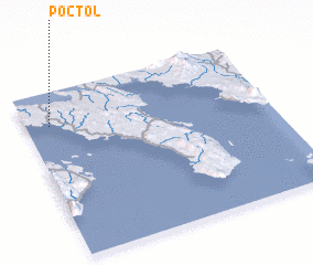 Places with similar names to Poctol, Philippines ::
// Pocatello (US)
// Peckatel (DE)
// Peckatel (DE)
// Poggetello (IT)
// Pigadoúlia (GR)
// Pākdāl (BD)
// Pukdale (ID)
// Puctla (MX)
// Pekh Tal (SN)
// Pāy Kotal (IR)
Disclaimer :: Information on this page comes without warranty of any kind |
||
|
Where is Poctol? Elevation and coordinates ::
Latitude (lat): 13°48'0"N Longitude (lon): 122°6'0"E
Elevation (approx.): 2m (map arrows pan, magnifying glasses zoom) |
||
|
Visiting Poctol? Hotel/Accommodation ::
Book a hotel in Poctol Travel Guide ::
Buy a travel guide for Philippines rental cars ::
car rental offers GPS waypoint ::
download a GPX waypoint (PoI) of Poctol for your GPS receiver
|
||