|
search place name
|
||
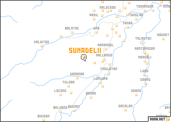
Sumadel II (Kalinga-Apayao, Philippines)Sumadel II is a town in the Kalinga-Apayao region of Philippines. An overview map of the region around Sumadel II is displayed below.
regional and 3d topo map of Sumadel II, Philippines ::
Sumadel II airports ::
The nearest airport is BAG - Baguio, located 115.3 km south west of Sumadel II.
Nearby towns ::
Sumadel (1.9km east) //
Tangilig (3.5km east) //
Mallango (3.9km east) //
Dananao (4.1km south west) //
Manangol (5.0km north east) //
Bangad (5.2km east) //
Tinglayan (5.5km south east) //
Luplupa (5.7km south east) //
Loplopa (6.6km south east) //
Tulgao (6.6km south west) //
Uma (6.8km north) //
Balatoc (6.9km north west) //
Mabilang (7.3km north east) //
Batong Buhay (7.5km north west) //
Bubut (7.6km south west) //
Basao (8.1km south) //
Lubuagan (9.0km north east) //
Gaang (9.0km north east) //
Lubac (9.0km north east) //
Locong (9.1km south west) //
Mabongtot (9.1km north east) //
Dangoy (10.1km north east) //
[all distances 'as the bird flies' and approximate] 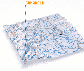 Places with similar names to Sumadel II, Philippines ::
// Smedley (US)
// Semitela (PT)
// Žemaitėliai (LT)
// Žemaitėliai (LT)
// Simitli (BG)
// Sametli (TR)
// Semetali (TR)
// Semetli (TR)
// Sömetli (TR)
// Zamdela (ZA)
Disclaimer :: Information on this page comes without warranty of any kind |
||
|
Where is Sumadel II? Elevation and coordinates ::
Latitude (lat): 17°18'0"N Longitude (lon): 121°7'0"E
Elevation (approx.): 1465m (map arrows pan, magnifying glasses zoom) |
||
|
Visiting Sumadel II? Hotel/Accommodation ::
Book a hotel in Sumadel II Travel Guide ::
Buy a travel guide for Philippines rental cars ::
car rental offers GPS waypoint ::
download a GPX waypoint (PoI) of Sumadel II for your GPS receiver
|
||