|
search place name
|
||
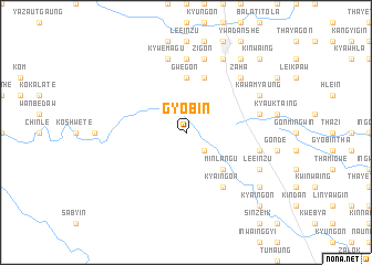
Gyobin (Myanmar)Gyobin is a town in Myanmar. An overview map of the region around Gyobin is displayed below.
regional and 3d topo map of Gyobin, Myanmar ::
Gyobin airports ::
The nearest airport is RGN - Yangon Intl, located 167.6 km south of Gyobin.
Nearby towns ::
Ye-ozin (2.6km south east) //
Minlangu (5.1km south east) //
Minlangu-shanzu (5.1km south east) //
Peinhnègon (5.6km north) //
Gwegon (5.6km north) //
Chingin (5.8km north) //
Kya-ingon (6.6km south east) //
Khindan (7.4km north) //
Obogon (7.4km north) //
Pattan (7.3km east) //
Zigon (7.6km north) //
Nyaungbintha (7.3km east) //
Kywèmagu (7.6km north) //
Zaha (7.7km north east) //
Le-einzu (8.0km south east) //
Shanzu (8.0km south east) //
Migyaung-aing (8.0km south east) //
Kawamyaung (8.0km north east) //
Nyaungkaya (8.2km north east) //
Hmyinbin (9.0km south east) //
Kinmungyon (9.1km north east) //
Kya-ingon (10.2km south east) //
Sinzeik (10.2km south east) //
Kinwaing (10.2km north east) //
Banlaung (10.2km north east) //
Gwebinmyaung (10.2km north east) //
Hngetkyithaik (10.2km north east) //
Akyat-in (10.2km north east) //
[all distances 'as the bird flies' and approximate] 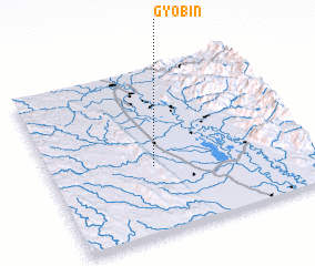 Places with similar names to Gyobin, Myanmar ::
Disclaimer :: Information on this page comes without warranty of any kind |
||
|
Where is Gyobin? Elevation and coordinates ::
Latitude (lat): 18°24'0"N Longitude (lon): 96°24'0"E
Elevation (approx.): 63m (map arrows pan, magnifying glasses zoom) |
||
|
Visiting Gyobin? Hotel/Accommodation ::
Book a hotel in Gyobin Travel Guide ::
Buy a travel guide for Myanmar rental cars ::
car rental offers GPS waypoint ::
download a GPX waypoint (PoI) of Gyobin for your GPS receiver
|
||