|
search place name
|
||
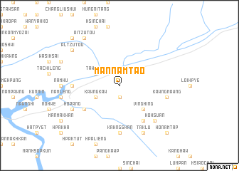
Mān Namtao (Shan, Myanmar)Mān Namtao is a town in the Shan region of Myanmar. An overview map of the region around Mān Namtao is displayed below.
regional and 3d topo map of Mān Namtao, Myanmar ::
Mān Namtao airports ::
The nearest airport is LSH - Lashio, located 122.4 km south west of Mān Namtao.
Other airports nearby include MYT - Myitkyina (261.6 km north west), Nearby towns ::
Tawmöng (1.9km south) //
Nawng-un (3.9km south west) //
Kawngkaw (3.9km south west) //
Tawmawn (3.9km north west) //
Vinghing (5.0km south east) //
Nawngmong (6.3km south west) //
Ho-hsawn (6.5km south east) //
Namhkio (6.8km west) //
Kawngshan (7.4km south) //
Kawngmawng (7.0km east) //
Ho-hsuan (7.5km south east) //
Hopang (7.7km south west) //
Taklu (8.2km south east) //
Mān Kang (8.2km south east) //
Al-tzu-tou (8.8km north west) //
Ai-tzu-tou (9.0km north west) //
Niu-pingtzu (10.1km north west) //
Ho-namtap (10.1km south east) //
[all distances 'as the bird flies' and approximate] 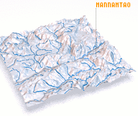 Places with similar names to Mān Namtao, Myanmar ::
// Mān Maw-wēt (MM)
// Mān Müt (MM)
// Mān Namhtū (MM)
// Mān Namta (MM)
// Mān Namtai (MM)
// Mān Namte (MM)
// Manaomata (PH)
// Manambato (MG)
// Manambato (MG)
// Manambato (MG)
Disclaimer :: Information on this page comes without warranty of any kind |
||
|
Where is Mān Namtao? Elevation and coordinates ::
Latitude (lat): 23°27'0"N Longitude (lon): 98°50'0"E
Elevation (approx.): 527m (map arrows pan, magnifying glasses zoom) |
||
|
Visiting Mān Namtao? Hotel/Accommodation ::
Book a hotel in Mān Namtao Travel Guide ::
Buy a travel guide for Myanmar rental cars ::
car rental offers GPS waypoint ::
download a GPX waypoint (PoI) of Mān Namtao for your GPS receiver
|
||