|
search place name
|
||
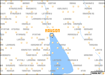
Mawgon (Shan, Myanmar)Mawgon is a town in the Shan region of Myanmar. An overview map of the region around Mawgon is displayed below.
regional and 3d topo map of Mawgon, Myanmar ::
Mawgon airports ::
The nearest airport is HEH - Heho, located 65.9 km north of Mawgon.
Other airports nearby include MDL - Mandalay Intl (196.9 km north west), Nearby towns ::
In-hkaung (1.9km north) //
Ywagyi (1.7km west) //
Kyauktan Ashe (1.7km west) //
Kyauktan Anauk (1.7km west) //
Kyauktan (1.7km west) //
Namteng (1.9km south) //
Ywathit (1.9km south) //
Samka (2.5km south east) //
Kandu (3.7km north) //
Magyibin (4.1km north west) //
Sehkawng (4.1km north west) //
Loi-hak (3.9km south west) //
Htiga (4.1km south west) //
Tawnggwe (4.1km south east) //
In-ni (5.1km south west) //
Tunnui (5.1km south east) //
Pyintha (5.2km west) //
Pongwun (5.6km south) //
Hsai-le (5.8km south) //
Nawngbo (5.8km north) //
Loi-yang (6.4km north east) //
Linphone Kyaungna (6.6km north west) //
Kongmakat (6.4km south west) //
Nammaw (6.4km south east) //
Htikalauk (7.0km west) //
Panne-sun (7.0km east) //
Letpanbu (7.6km north) //
Longkam (7.6km south) //
Sawng-o (7.6km south west) //
[all distances 'as the bird flies' and approximate] 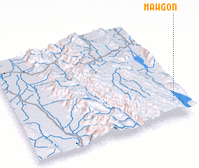 Places with similar names to Mawgon, Myanmar ::
Disclaimer :: Information on this page comes without warranty of any kind |
||
|
Where is Mawgon? Elevation and coordinates ::
Latitude (lat): 20°10'0"N Longitude (lon): 96°56'0"E
Elevation (approx.): 884m (map arrows pan, magnifying glasses zoom) |
||
|
Visiting Mawgon? Hotel/Accommodation ::
Book a hotel in Mawgon Travel Guide ::
Buy a travel guide for Myanmar rental cars ::
car rental offers GPS waypoint ::
download a GPX waypoint (PoI) of Mawgon for your GPS receiver
|
||