|
search place name
|
||
Natchaung (Kayin, Myanmar)Natchaung is a town in the Kayin region of Myanmar. An overview map of the region around Natchaung is displayed below.
regional and 3d topo map of Natchaung, Myanmar ::

Nearby towns ::
Kyakhatchaungwa (1.9km north) //
Bidayi (3.7km south) //
Kya-in Seikkyi (4.1km north west) //
Se-inzu (5.1km north west) //
Thaminle (5.7km east) //
Dawebauk (5.7km west) //
Natchaung-bya (6.5km south east) //
Htiphobet (7.1km east) //
Kya-in (7.6km north) //
Tarokhmaw (7.6km south) //
Tulitkon (8.2km north east) //
Kyakhatchaung (9.0km north east) //
Shwedaungbo (9.0km north west) //
Shwelin (9.1km north west) //
Wegyi (10.3km north west) //
Kasat (10.3km south east) //
[all distances 'as the bird flies' and approximate] 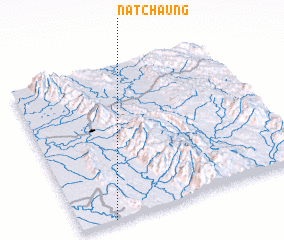 Places with similar names to Natchaung, Myanmar ::
// Natchaung (MM)
// Natchaung (MM)
// Natchaung (MM)
// Netchaung (MM)
// Ntshieng (ZA)
// Ntchengué (GA)
// Notchŏng (KR)
// Na Tchiang (VN)
// Na Tchoung (VN)
// Niudachang (CN)
Disclaimer :: Information on this page comes without warranty of any kind |
||
|
Where is Natchaung? Elevation and coordinates ::
Latitude (lat): 16°0'0"N Longitude (lon): 98°9'0"E
Elevation (approx.): 17m (map arrows pan, magnifying glasses zoom) |
||
|
Visiting Natchaung? Hotel/Accommodation ::
Book a hotel in Natchaung Travel Guide ::
Buy a travel guide for Myanmar rental cars ::
car rental offers GPS waypoint ::
download a GPX waypoint (PoI) of Natchaung for your GPS receiver
|
||