|
search place name
|
||
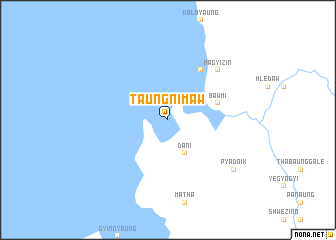
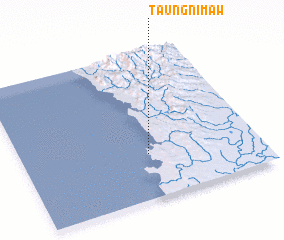
Taungnimaw (Ayeyarwady, Myanmar)Taungnimaw is a town in the Ayeyarwady region of Myanmar. An overview map of the region around Taungnimaw is displayed below.
regional and 3d topo map of Taungnimaw, Myanmar ::
Taungnimaw airports ::
The nearest airport is SNW - Thandwe, located 130.8 km north of Taungnimaw.
Other airports nearby include RGN - Yangon Intl (175.7 km east), Nearby towns ::
 Places with similar names to Taungnimaw, Myanmar ::
// Dongo-Niama (CG)
// Toungounamba I (GA)
// Toungounamba II (GA)
// Dan Kunama (NG)
// Tanganama (NG)
// Tunga Nama (NG)
// Tunga Nama (NG)
// Tungan Noma (NG)
// Tungan Numa (NG)
// Tungan Numa (NG)
Disclaimer :: Information on this page comes without warranty of any kind |
||
|
Where is Taungnimaw? Elevation and coordinates ::
Latitude (lat): 17°18'0"N Longitude (lon): 94°32'0"E
Elevation (approx.): -32768m (map arrows pan, magnifying glasses zoom) |
||
|
Visiting Taungnimaw? Hotel/Accommodation ::
Book a hotel in Taungnimaw Travel Guide ::
Buy a travel guide for Myanmar rental cars ::
car rental offers GPS waypoint ::
download a GPX waypoint (PoI) of Taungnimaw for your GPS receiver
|
||